Area Overview for SP5 3HW
Photos of SP5 3HW
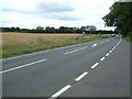
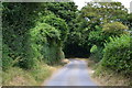
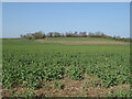
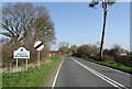
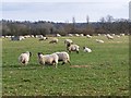
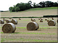
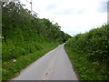
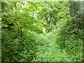

15 photos from this area
Area Information
Key information about the SP5 3HW including its size, population, and administrative classification.
- Area Type
- Postcode
- Area Size
- 27.5 hectares
- Population
- 1424
- Population Density
- 577 people/km²
House Prices in SP5 3HW
14
Properties
£429,125
Average Sold Price
£124,000
Lowest Price
£725,000
Highest Price
Showing 14 properties
| Address | Type | Beds | Baths | Last Sale Price | Last Sale Date | |
|---|---|---|---|---|---|---|
| Meadow End Cottage, Braemore Road, Downton, SP5 3HW | Detached | 3 | 2 | £675,000 | Apr 2024 | |
| Rivermead, Braemore Road, Downton, SP5 3HW | Detached | 7 | 3 | £725,000 | Oct 2020 | |
| Batten Cottage, Braemore Road, Downton, SP5 3HW | Detached | 5 | 2 | £192,500 | Jul 2007 | |
| Green Pastures, Braemore Road, Downton, SP5 3HW | Detached | - | - | £124,000 | Dec 1998 | |
| Homestead, Braemore Road, Downton, SP5 3HW | Semi-detached | - | - | - | - | |
| Batten Cottage And Wick Cottage, Braemore Road, Downton, SP5 3HW | Terraced | - | - | - | - | |
| Wick Cottage, Braemore Road, Downton, SP5 3HW | Semi-detached | - | - | - | - | |
| Gethsemane, Long Meadow Nurseries, Braemore Road, Downton, SP5 3HW | Detached | - | - | - | - | |
| Rose Cottage, The Headlands, Downton, SP5 3HW | Semi-detached | - | - | - | - | |
| Mobile 1, Long Meadow Nurseries, Braemore Road, Downton, SP5 3HW | Mobile Home | - | - | - | - |
Page 1 of 2
Energy Efficiency in SP5 3HW
Amenities
Schools
| Rank | School | Type | Entry gender | Ages |
|---|
Explore more schools in this area
Go to Schools tabDemographics
Household Size
Two person
most common
Accommodation Type
Houses
most common
Tenure
76
majority
Ethnic Group
White
most common
Religion
N/A
most common
Household Composition
N/A
most common
Age
47
median
Adults (30-64 years)
most common
Household Deprivation
N/A
with no deprivation
NS-SEC
35
in Lower managerial occupations
Explore more demographic insights in this area
Go to Demographics tabPlanning
Planning Constraints
- Flood RiskPremium
- Ramsar Wetland SitesPremium
- Area of Outstanding Natural BeautyPremium
- Protected Nature ReservePremium
- Protected WoodlandPremium