Area Overview for SP5 3DJ
Photos of SP5 3DJ
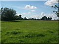
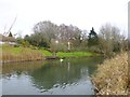
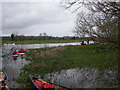
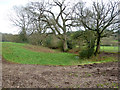
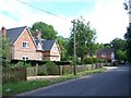
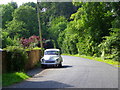
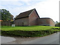
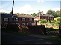
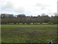
12 photos from this area
Area Information
Key information about the SP5 3DJ including its size, population, and administrative classification.
- Area Type
- Postcode
- Area Size
- 71.4 hectares
- Population
- 1643
- Population Density
- 270 people/km²
House Prices in SP5 3DJ
27
Properties
£874,000
Average Sold Price
£215,000
Lowest Price
£2,785,000
Highest Price
Showing 27 properties
| Address | Type | Beds | Baths | Last Sale Price | Last Sale Date | |
|---|---|---|---|---|---|---|
| Avon Turn, Shute End, Alderbury, SP5 3DJ | Detached | 6 | 5 | £2,785,000 | Dec 2022 | |
| Myrtle Cottage, Shute End, Alderbury, SP5 3DJ | Semi-detached | 3 | 2 | £372,000 | Apr 2021 | |
| Avon Barn, Shute End, Alderbury, SP5 3DJ | Bungalow | 2 | - | £827,000 | Feb 2021 | |
| Egrets Rise, Shute End, Alderbury, SP5 3DJ | Bungalow | 3 | 1 | £350,000 | Jun 2009 | |
| Chalk Pit House, Shute End, Alderbury, SP5 3DJ | house | - | - | £695,000 | Apr 2009 | |
| 46 Shute End, Alderbury, SP5 3DJ | house | - | - | £215,000 | Mar 2009 | |
| Herons Reach, Shute End, Alderbury, SP5 3DJ | Detached | 4 | 2 | - | - | |
| 4, Home Farm Dairy, Shute End, Alderbury, SP5 3DJ | Detached | 5 | 3 | - | - | |
| 41 Shute End, Alderbury, SP5 3DJ | house | - | - | - | - | |
| Brownsmead, 44 Shute End, Alderbury, SP5 3DJ | house | - | - | - | - |
Page 1 of 3
Energy Efficiency in SP5 3DJ
Amenities
Schools
| Rank | School | Type | Entry gender | Ages |
|---|
Explore more schools in this area
Go to Schools tabDemographics
Household Size
Two person
most common
Accommodation Type
Houses
most common
Tenure
82
majority
Ethnic Group
White
most common
Religion
N/A
most common
Household Composition
N/A
most common
Age
47
median
Adults (30-64 years)
most common
Household Deprivation
N/A
with no deprivation
NS-SEC
47
in Lower managerial occupations
Explore more demographic insights in this area
Go to Demographics tabPlanning
Planning Constraints
- Flood RiskPremium
- Ramsar Wetland SitesPremium
- Area of Outstanding Natural BeautyPremium
- Protected Nature ReservePremium
- Protected WoodlandPremium