Area Overview for SP5 3BD
Photos of SP5 3BD
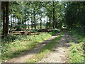
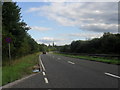
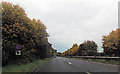
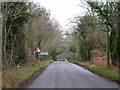
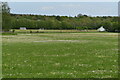
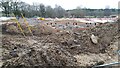
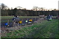
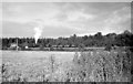
12 photos from this area
Area Information
Key information about the SP5 3BD including its size, population, and administrative classification.
- Area Type
- Postcode
- Area Size
- 11.2 hectares
- Population
- 1200
- Population Density
- 92 people/km²
House Prices in SP5 3BD
41
Properties
£322,077
Average Sold Price
£139,000
Lowest Price
£545,000
Highest Price
Showing 41 properties
| Address | Type | Beds | Baths | Last Sale Price | Last Sale Date | |
|---|---|---|---|---|---|---|
| Green Ridges, Firs Road, Alderbury, SP5 3BD | Semi-detached | 4 | 3 | £457,500 | Jul 2025 | |
| Ivydene, Firs Road, Alderbury, SP5 3BD | Bungalow | 3 | 1 | £420,000 | Mar 2025 | |
| Foxton, Firs Road, Alderbury, SP5 3BD | Semi-detached | 3 | 1 | £410,000 | Apr 2024 | |
| Kerswell, Firs Road, Alderbury, SP5 3BD | house | - | - | £450,000 | Dec 2023 | |
| Meadowside, Firs Road, Alderbury, SP5 3BD | Semi-detached | 3 | 2 | £375,000 | Dec 2023 | |
| Old Police House, Firs Road, Alderbury, SP5 3BD | house | - | - | £285,000 | Nov 2022 | |
| Firs End, Firs Road, Alderbury, SP5 3BD | house | 5 | - | £525,000 | Nov 2020 | |
| Oak Apple, Firs Road, Alderbury, SP5 3BD | Bungalow | 3 | 1 | £320,000 | Mar 2020 | |
| Pinehurst, Firs Road, Alderbury, SP5 3BD | Bungalow | - | - | £300,000 | Jan 2019 | |
| Sutton Lodge, Firs Road, Alderbury, SP5 3BD | Bungalow | 3 | - | £370,000 | Feb 2017 |
Page 1 of 5
Energy Efficiency in SP5 3BD
Amenities
Schools
| Rank | School | Type | Entry gender | Ages |
|---|
Explore more schools in this area
Go to Schools tabDemographics
Household Size
Two person
most common
Accommodation Type
Houses
most common
Tenure
70
majority
Ethnic Group
White
most common
Religion
N/A
most common
Household Composition
N/A
most common
Age
47
median
Adults (30-64 years)
most common
Household Deprivation
N/A
with no deprivation
NS-SEC
39
in Lower managerial occupations
Explore more demographic insights in this area
Go to Demographics tabPlanning
Planning Constraints
- Flood RiskPremium
- Ramsar Wetland SitesPremium
- Area of Outstanding Natural BeautyPremium
- Protected Nature ReservePremium
- Protected WoodlandPremium