Area Overview for SP5 1JJ
Photos of SP5 1JJ
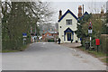
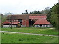
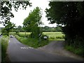
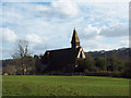
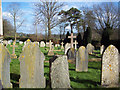
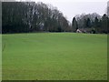
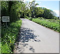
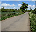
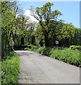
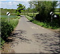
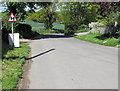
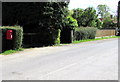
77 photos from this area
Area Information
Key information about the SP5 1JJ including its size, population, and administrative classification.
- Area Type
- Postcode
- Area Size
- 21.2 hectares
- Population
- 1710
- Population Density
- 102 people/km²
House Prices in SP5 1JJ
6
Properties
£662,500
Average Sold Price
£430,000
Lowest Price
£885,000
Highest Price
Showing 6 properties
| Address | Type | Beds | Baths | Last Sale Price | Last Sale Date | |
|---|---|---|---|---|---|---|
| Tanglewood, Junction At Dean Road And Grimstead Road East To Rectory Hill, West Dean, SP5 1JJ | house | - | - | £845,000 | Mar 2020 | |
| Ellengowan, Junction At Dean Road And Grimstead Road East To Rectory Hill, West Dean, SP5 1JJ | Detached | 4 | 1 | £885,000 | Oct 2019 | |
| Woodside, Junction At Dean Road And Grimstead Road East To Rectory Hill, West Dean, SP5 1JJ | house | - | - | £430,000 | Nov 2008 | |
| Dean Chase, Junction At Dean Road And Grimstead Road East To Rectory Hill, West Dean, SP5 1JJ | Bungalow | - | - | £490,000 | Aug 2001 | |
| Michaelmas Cottage, Junction At Dean Road And Grimstead Road East To Rectory Hill, West Dean, SP5 1JJ | Bungalow | 4 | 1 | - | - | |
| Goose Green, Junction At Dean Road And Grimstead Road East To Rectory Hill, West Dean, SP5 1JJ | Detached | - | - | - | - |
Energy Efficiency in SP5 1JJ
Amenities
Schools
| Rank | School | Type | Entry gender | Ages |
|---|
Explore more schools in this area
Go to Schools tabDemographics
Household Size
Two person
most common
Accommodation Type
Houses
most common
Tenure
83
majority
Ethnic Group
White
most common
Religion
N/A
most common
Household Composition
N/A
most common
Age
47
median
Adults (30-64 years)
most common
Household Deprivation
N/A
with no deprivation
NS-SEC
45
in Lower managerial occupations
Explore more demographic insights in this area
Go to Demographics tabPlanning
Planning Constraints
- Flood RiskPremium
- Ramsar Wetland SitesPremium
- Area of Outstanding Natural BeautyPremium
- Protected Nature ReservePremium
- Protected WoodlandPremium