Area Overview for SP5 1DT
Photos of SP5 1DT
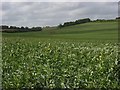
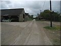
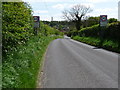
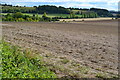
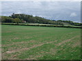
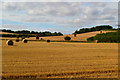
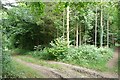
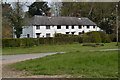
14 photos from this area
Area Information
Key information about the SP5 1DT including its size, population, and administrative classification.
- Area Type
- Postcode
- Area Size
- 36.4 hectares
- Population
- 1943
- Population Density
- 62 people/km²
House Prices in SP5 1DT
12
Properties
£530,000
Average Sold Price
£385,000
Lowest Price
£800,000
Highest Price
Showing 12 properties
| Address | Type | Beds | Baths | Last Sale Price | Last Sale Date | |
|---|---|---|---|---|---|---|
| Skythorns, White Way, Pitton, SP5 1DT | house | 3 | 1 | £570,000 | Jul 2024 | |
| Mayfield, White Way, Pitton, SP5 1DT | house | - | - | £680,000 | Jun 2021 | |
| Karibu, White Way, Pitton, SP5 1DT | Detached | 3 | 2 | £430,000 | Dec 2020 | |
| The Old School, White Way, Pitton, SP5 1DT | Bungalow | 3 | 2 | £525,000 | Jan 2019 | |
| Amberley, White Way, Pitton, SP5 1DT | Bungalow | 2 | 3 | £800,000 | Nov 2017 | |
| Hollybank, White Way, Pitton, SP5 1DT | Bungalow | 3 | 2 | £385,000 | Nov 2015 | |
| Parsonage Farm Barn, White Way, Pitton, SP5 1DT | Semi-detached | 2 | 2 | £400,000 | Jul 2001 | |
| Parsonage Farm House, White Way, Pitton, SP5 1DT | Detached | - | - | £450,000 | Dec 1999 | |
| Orchard Hill, White Way, Pitton, SP5 1DT | Detached | 4 | 2 | - | - | |
| Saxifrage, White Way, Pitton, SP5 1DT | Detached | - | - | - | - |
Page 1 of 2
Energy Efficiency in SP5 1DT
Amenities
Schools
| Rank | School | Type | Entry gender | Ages |
|---|
Explore more schools in this area
Go to Schools tabDemographics
Household Size
Two person
most common
Accommodation Type
Houses
most common
Tenure
90
majority
Ethnic Group
White
most common
Religion
N/A
most common
Household Composition
N/A
most common
Age
47
median
Adults (30-64 years)
most common
Household Deprivation
N/A
with no deprivation
NS-SEC
47
in Lower managerial occupations
Explore more demographic insights in this area
Go to Demographics tabPlanning
Planning Constraints
- Flood RiskPremium
- Ramsar Wetland SitesPremium
- Area of Outstanding Natural BeautyPremium
- Protected Nature ReservePremium
- Protected WoodlandPremium