Area Overview for SP4 9QE
Photos of SP4 9QE
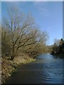
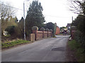
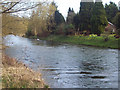
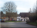
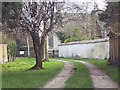
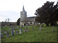
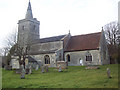

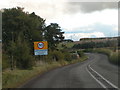
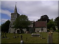
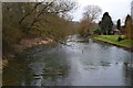
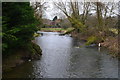
64 photos from this area
Area Information
Key information about the SP4 9QE including its size, population, and administrative classification.
- Area Type
- Postcode
- Area Size
- 1.0 hectares
- Population
- 1784
- Population Density
- 32 people/km²
House Prices in SP4 9QE
23
Properties
£160,667
Average Sold Price
£47,000
Lowest Price
£250,000
Highest Price
Showing 23 properties
| Address | Type | Beds | Baths | Last Sale Price | Last Sale Date | |
|---|---|---|---|---|---|---|
| 655 Hales Road, Netheravon, SP4 9QE | house | 2 | - | £250,000 | Jul 2024 | |
| 658 Hales Road, Netheravon, SP4 9QE | Semi-detached | 2 | 1 | £225,000 | Dec 2022 | |
| 651A Hales Road, Netheravon, SP4 9QE | Terraced | 2 | 2 | £220,000 | Dec 2021 | |
| 656 Hales Road, Netheravon, SP4 9QE | Terraced | 2 | - | £185,000 | Feb 2017 | |
| 651 Hales Road, Netheravon, SP4 9QE | Terraced | 2 | 1 | £150,000 | Sep 2016 | |
| 13 Hales Road, Netheravon, SP4 9QE | Semi-detached | - | - | £148,000 | Dec 2006 | |
| 654 Hales Road, Netheravon, SP4 9QE | Terraced | - | - | £138,000 | Jun 2003 | |
| 653 Hales Road, Netheravon, SP4 9QE | Terraced | - | - | £83,000 | Apr 2001 | |
| 652 Hales Road, Netheravon, SP4 9QE | Terraced | - | - | £47,000 | Oct 1997 | |
| 9 Hales Road, Netheravon, SP4 9QE | Semi-detached | - | - | - | - |
Page 1 of 3
Energy Efficiency in SP4 9QE
Amenities
Schools
| Rank | School | Type | Entry gender | Ages |
|---|
Explore more schools in this area
Go to Schools tabDemographics
Household Size
Two person
most common
Accommodation Type
Houses
most common
Tenure
67
majority
Ethnic Group
White
most common
Religion
N/A
most common
Household Composition
N/A
most common
Age
47
median
Adults (30-64 years)
most common
Household Deprivation
N/A
with no deprivation
NS-SEC
37
in Lower managerial occupations
Explore more demographic insights in this area
Go to Demographics tabPlanning
Planning Constraints
- Flood RiskPremium
- Ramsar Wetland SitesPremium
- Area of Outstanding Natural BeautyPremium
- Protected Nature ReservePremium
- Protected WoodlandPremium