Area Overview for SP4 8JT
Photos of SP4 8JT
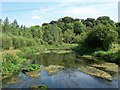
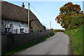
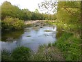
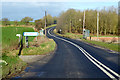
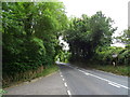
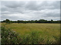
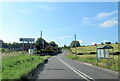
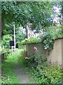

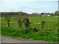
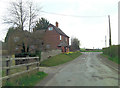
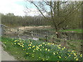
17 photos from this area
Area Information
Key information about the SP4 8JT including its size, population, and administrative classification.
- Area Type
- Postcode
- Area Size
- 11.0 hectares
- Population
- 2303
- Population Density
- 27 people/km²
House Prices in SP4 8JT
27
Properties
£351,857
Average Sold Price
£125,000
Lowest Price
£875,000
Highest Price
Showing 27 properties
| Address | Type | Beds | Baths | Last Sale Price | Last Sale Date | |
|---|---|---|---|---|---|---|
| Pentire, High Street, Figheldean, SP4 8JT | house | 5 | 3 | £875,000 | Jun 2025 | |
| Glenavon, High Street, Figheldean, SP4 8JT | Bungalow | - | - | £395,000 | Mar 2023 | |
| Avoncroft, High Street, Figheldean, SP4 8JT | Bungalow | 3 | - | £425,000 | Mar 2021 | |
| Oldlands, High Street, Figheldean, SP4 8JT | Detached | 3 | 1 | £411,000 | Oct 2020 | |
| The Retreat, High Street, Figheldean, SP4 8JT | Bungalow | 3 | 1 | £335,000 | Jul 2020 | |
| The Old Chapel, High Street, Figheldean, SP4 8JT | Detached | 3 | 2 | £390,000 | Oct 2018 | |
| Corner Cottage, High Street, Figheldean, SP4 8JT | Cottage | 3 | 1 | £275,000 | Aug 2016 | |
| Honeycomb Cottage, High Street, Figheldean, SP4 8JT | house | - | - | £270,000 | Feb 2016 | |
| Warblers, High Street, Figheldean, SP4 8JT | Bungalow | 4 | - | £375,000 | Sep 2014 | |
| My Verona, High Street, Figheldean, SP4 8JT | Bungalow | 3 | - | £245,000 | Mar 2013 |
Page 1 of 3
Energy Efficiency in SP4 8JT
Amenities
Schools
| Rank | School | Type | Entry gender | Ages |
|---|
Explore more schools in this area
Go to Schools tabDemographics
Household Size
Two person
most common
Accommodation Type
Houses
most common
Tenure
57
majority
Ethnic Group
White
most common
Religion
N/A
most common
Household Composition
N/A
most common
Age
47
median
Adults (30-64 years)
most common
Household Deprivation
N/A
with no deprivation
NS-SEC
39
in Lower managerial occupations
Explore more demographic insights in this area
Go to Demographics tabPlanning
Planning Constraints
- Flood RiskPremium
- Ramsar Wetland SitesPremium
- Area of Outstanding Natural BeautyPremium
- Protected Nature ReservePremium
- Protected WoodlandPremium