Area Overview for SP4 0LE
Photos of SP4 0LE
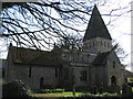
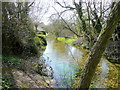
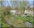
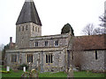
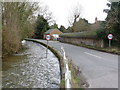
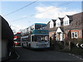
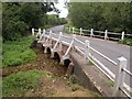
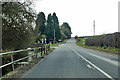
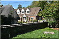
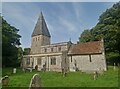
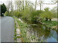
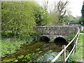
36 photos from this area
Area Information
Key information about the SP4 0LE including its size, population, and administrative classification.
- Area Type
- Postcode
- Area Size
- 8.0 hectares
- Population
- 1531
- Population Density
- 67 people/km²
House Prices in SP4 0LE
39
Properties
£218,663
Average Sold Price
£61,740
Lowest Price
£345,000
Highest Price
Showing 39 properties
| Address | Type | Beds | Baths | Last Sale Price | Last Sale Date | |
|---|---|---|---|---|---|---|
| 17 Horefield, Porton, SP4 0LE | house | - | - | £255,000 | Mar 2025 | |
| 19 Horefield, Porton, SP4 0LE | Semi-detached | 3 | - | £61,740 | Nov 2024 | |
| 5 Horefield, Porton, SP4 0LE | Semi-detached | 3 | 2 | £295,000 | Mar 2024 | |
| 14 Horefield, Porton, SP4 0LE | house | - | - | £300,000 | Jan 2024 | |
| 16 Horefield, Porton, SP4 0LE | Semi-detached | 3 | 1 | £192,500 | Dec 2023 | |
| Ashlea, Horefield, Porton, SP4 0LE | Bungalow | 2 | 1 | £325,000 | Nov 2022 | |
| 38 Horefield, Porton, SP4 0LE | Semi-detached | 3 | 1 | £295,000 | Aug 2022 | |
| 37 Horefield, Porton, SP4 0LE | Semi-detached | 2 | - | £345,000 | May 2022 | |
| 34 Horefield, Porton, SP4 0LE | house | - | - | £218,500 | Oct 2019 | |
| 3 Horefield, Porton, SP4 0LE | Semi-detached | 3 | 1 | £268,860 | Jul 2018 |
Page 1 of 4
Energy Efficiency in SP4 0LE
Amenities
Schools
| Rank | School | Type | Entry gender | Ages |
|---|
Explore more schools in this area
Go to Schools tabDemographics
Household Size
Two person
most common
Accommodation Type
Houses
most common
Tenure
87
majority
Ethnic Group
White
most common
Religion
N/A
most common
Household Composition
N/A
most common
Age
47
median
Adults (30-64 years)
most common
Household Deprivation
N/A
with no deprivation
NS-SEC
45
in Lower managerial occupations
Explore more demographic insights in this area
Go to Demographics tabPlanning
Planning Constraints
- Flood RiskPremium
- Ramsar Wetland SitesPremium
- Area of Outstanding Natural BeautyPremium
- Protected Nature ReservePremium
- Protected WoodlandPremium