Area Overview for SP4 0BY
Photos of SP4 0BY
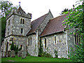
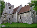
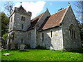
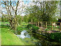
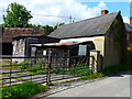
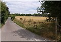
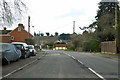
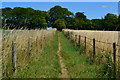
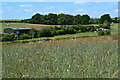
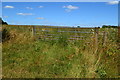
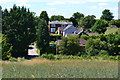
41 photos from this area
Area Information
Key information about the SP4 0BY including its size, population, and administrative classification.
- Area Type
- Postcode
- Area Size
- 4.1 hectares
- Population
- 1531
- Population Density
- 67 people/km²
House Prices in SP4 0BY
31
Properties
£312,900
Average Sold Price
£88,500
Lowest Price
£845,000
Highest Price
Showing 31 properties
| Address | Type | Beds | Baths | Last Sale Price | Last Sale Date | |
|---|---|---|---|---|---|---|
| Orewa, 12 Wyndham Lane, Allington, SP4 0BY | Detached | 3 | 2 | £324,000 | Sep 2025 | |
| The Cherries, Wyndham Lane, Allington, SP4 0BY | Detached | 3 | 1 | £385,000 | Jul 2025 | |
| Dunelm, Wyndham Lane, Allington, SP4 0BY | Bungalow | 3 | - | £355,000 | Mar 2024 | |
| 11A Wyndham Lane, Allington, SP4 0BY | house | - | - | £420,000 | Aug 2023 | |
| Lopar, Wyndham Lane, Allington, SP4 0BY | Bungalow | 3 | 1 | £407,000 | Aug 2023 | |
| Shar Kiffen, Wyndham Lane, Allington, SP4 0BY | Bungalow | - | - | £365,000 | May 2021 | |
| Wyndham Farm, Wyndham Lane, Allington, SP4 0BY | Detached | 5 | 3 | £845,000 | Mar 2021 | |
| Clover, Wyndham Lane, Allington, SP4 0BY | Bungalow | 3 | 1 | £342,500 | Sep 2019 | |
| 11 Wyndham Lane, Allington, SP4 0BY | Semi-detached | 3 | 2 | £330,000 | Oct 2017 | |
| Islay, Wyndham Lane, Allington, SP4 0BY | Detached | - | - | £295,000 | Sep 2017 |
Page 1 of 4
Energy Efficiency in SP4 0BY
Amenities
Schools
| Rank | School | Type | Entry gender | Ages |
|---|
Explore more schools in this area
Go to Schools tabDemographics
Household Size
Two person
most common
Accommodation Type
Houses
most common
Tenure
87
majority
Ethnic Group
White
most common
Religion
N/A
most common
Household Composition
N/A
most common
Age
47
median
Adults (30-64 years)
most common
Household Deprivation
N/A
with no deprivation
NS-SEC
45
in Lower managerial occupations
Explore more demographic insights in this area
Go to Demographics tabPlanning
Planning Constraints
- Flood RiskPremium
- Ramsar Wetland SitesPremium
- Area of Outstanding Natural BeautyPremium
- Protected Nature ReservePremium
- Protected WoodlandPremium