Area Overview for SP3 6NR
Photos of SP3 6NR
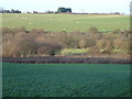
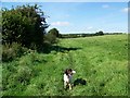
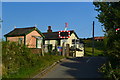
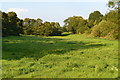
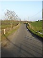
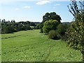
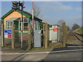
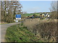
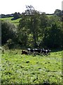
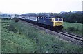
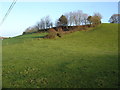
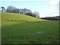
13 photos from this area
Area Information
Key information about the SP3 6NR including its size, population, and administrative classification.
- Area Type
- Postcode
- Area Size
- 14.5 hectares
- Population
- 1354
- Population Density
- 43 people/km²
House Prices in SP3 6NR
14
Properties
£327,333
Average Sold Price
£64,000
Lowest Price
£715,000
Highest Price
Showing 14 properties
| Address | Type | Beds | Baths | Last Sale Price | Last Sale Date | |
|---|---|---|---|---|---|---|
| 88 Monmouth Road, Tisbury, SP3 6NR | house | - | - | £305,000 | Feb 2025 | |
| Little Hazels, Monmouth Road, Tisbury, SP3 6NR | house | 4 | 4 | £715,000 | Sep 2023 | |
| Old Quarry Gates, Monmouth Road, Tisbury, SP3 6NR | Detached | 4 | 1 | £390,000 | Dec 2019 | |
| Highfield, Monmouth Road, Tisbury, SP3 6NR | Bungalow | - | - | £520,000 | Feb 2019 | |
| Stanley Cottage, Monmouth Road, Tisbury, SP3 6NR | house | - | - | £509,000 | Jan 2018 | |
| West End Cottage, Monmouth Road, Tisbury, SP3 6NR | house | - | - | £395,000 | Aug 2013 | |
| Badgers Drift, Monmouth Road, Tisbury, SP3 6NR | Detached | - | - | £225,000 | Feb 2007 | |
| 89 Monmouth Road, Tisbury, SP3 6NR | house | - | - | £300,000 | Oct 2006 | |
| Stable Croft, Monmouth Road, Tisbury, SP3 6NR | house | - | - | £215,000 | Nov 2005 | |
| Russetts, Monmouth Road, Tisbury, SP3 6NR | Detached | - | - | £197,500 | Jan 2003 |
Page 1 of 2
Energy Efficiency in SP3 6NR
Amenities
Schools
| Rank | School | Type | Entry gender | Ages |
|---|
Explore more schools in this area
Go to Schools tabDemographics
Household Size
Two person
most common
Accommodation Type
Houses
most common
Tenure
77
majority
Ethnic Group
White
most common
Religion
N/A
most common
Household Composition
N/A
most common
Age
47
median
Adults (30-64 years)
most common
Household Deprivation
N/A
with no deprivation
NS-SEC
40
in Lower managerial occupations
Explore more demographic insights in this area
Go to Demographics tabPlanning
Planning Constraints
- Flood RiskPremium
- Ramsar Wetland SitesPremium
- Area of Outstanding Natural BeautyPremium
- Protected Nature ReservePremium
- Protected WoodlandPremium