Area Overview for SP3 6DP
Photos of SP3 6DP
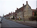
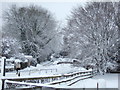
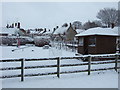
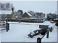
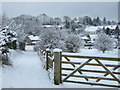
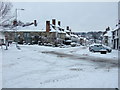
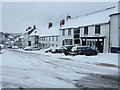
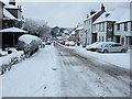
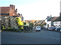
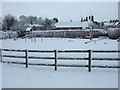
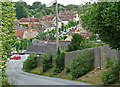
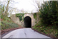
49 photos from this area
Area Information
Key information about the SP3 6DP including its size, population, and administrative classification.
- Area Type
- Postcode
- Area Size
- 1.9 hectares
- Population
- 2138
- Population Density
- 34 people/km²
House Prices in SP3 6DP
25
Properties
£516,393
Average Sold Price
£207,500
Lowest Price
£1,300,000
Highest Price
Showing 25 properties
| Address | Type | Beds | Baths | Last Sale Price | Last Sale Date | |
|---|---|---|---|---|---|---|
| Listan, High Street, Hindon, SP3 6DP | Bungalow | 3 | - | £435,000 | Aug 2025 | |
| Dolphin House, High Street, Hindon, SP3 6DP | house | 3 | - | £563,000 | Feb 2023 | |
| Coppers, High Street, Hindon, SP3 6DP | Bungalow | 3 | - | £380,000 | Nov 2022 | |
| Blythe House, High Street, Hindon, SP3 6DP | Terraced | - | - | £750,000 | Aug 2022 | |
| Jubilee House, High Street, Hindon, SP3 6DP | house | - | - | £565,000 | Mar 2022 | |
| Sixpenny Cottage, 89 High Street, Hindon, SP3 6DP | house | - | - | £438,888 | Jun 2021 | |
| Red Lion House, High Street, Hindon, SP3 6DP | house | 6 | 5 | £1,300,000 | Jun 2020 | |
| Chaplins, High Street, Hindon, SP3 6DP | Detached | 3 | 2 | £450,000 | Feb 2018 | |
| Denland House, High Street, Hindon, SP3 6DP | Semi-detached | 4 | - | £597,000 | Jun 2016 | |
| Brampton Cottage, High Street, Hindon, SP3 6DP | Terraced | 2 | - | £277,000 | Jan 2016 |
Page 1 of 3
Energy Efficiency in SP3 6DP
Amenities
Schools
| Rank | School | Type | Entry gender | Ages |
|---|
Explore more schools in this area
Go to Schools tabDemographics
Household Size
Two person
most common
Accommodation Type
Houses
most common
Tenure
72
majority
Ethnic Group
White
most common
Religion
N/A
most common
Household Composition
N/A
most common
Age
47
median
Adults (30-64 years)
most common
Household Deprivation
N/A
with no deprivation
NS-SEC
39
in Lower managerial occupations
Explore more demographic insights in this area
Go to Demographics tabPlanning
Planning Constraints
- Flood RiskPremium
- Ramsar Wetland SitesPremium
- Area of Outstanding Natural BeautyPremium
- Protected Nature ReservePremium
- Protected WoodlandPremium