Area Overview for SP3 5PF
Photos of SP3 5PF
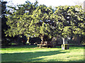
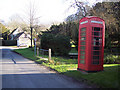


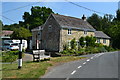
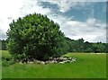
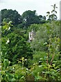
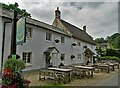
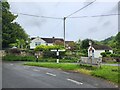
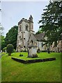
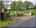
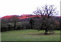
30 photos from this area
Area Information
Key information about the SP3 5PF including its size, population, and administrative classification.
- Area Type
- Postcode
- Area Size
- 10.6 hectares
- Population
- 1139
- Population Density
- 51 people/km²
House Prices in SP3 5PF
10
Properties
£636,714
Average Sold Price
£142,000
Lowest Price
£1,290,000
Highest Price
Showing 10 properties
| Address | Type | Beds | Baths | Last Sale Price | Last Sale Date | |
|---|---|---|---|---|---|---|
| Springhead, Gigant Street, Swallowcliffe, SP3 5PF | house | 2 | 2 | £900,000 | Jul 2024 | |
| Springhead Cottage, Gigant Street, Swallowcliffe, SP3 5PF | house | - | - | £460,000 | Oct 2023 | |
| Pond Close, Gigant Street, Swallowcliffe, SP3 5PF | house | 4 | - | £920,000 | Jan 2015 | |
| Tanners Cottage, Gigant Street, Swallowcliffe, SP3 5PF | Detached | - | - | £495,000 | Jul 2012 | |
| Martin House, Gigant Street, Swallowcliffe, SP3 5PF | house | - | - | £1,290,000 | May 2010 | |
| Springside Cottage, Gigant Street, Swallowcliffe, SP3 5PF | Detached | - | - | £250,000 | Dec 2004 | |
| The Dell, Y Junction At Middledean North West To Gigant Street, Swallowcliffe, SP3 5PF | Detached | - | - | £142,000 | May 1995 | |
| Sandhill Cottage, Gigant Street North To T Junction Opposite Swallowcliffe Manor, Swallowcliffe, SP3 5PF | Detached | - | - | - | - | |
| Goldhill Cottage, Y Junction At Middledean North West To Gigant Street, Swallowcliffe, SP3 5PF | Bungalow | - | - | - | - | |
| Tanners Brook, Gigant Street, Swallowcliffe, SP3 5PF | house | - | - | - | - |
Energy Efficiency in SP3 5PF
Amenities
Schools
| Rank | School | Type | Entry gender | Ages |
|---|
Explore more schools in this area
Go to Schools tabDemographics
Household Size
Two person
most common
Accommodation Type
Houses
most common
Tenure
75
majority
Ethnic Group
White
most common
Religion
N/A
most common
Household Composition
N/A
most common
Age
47
median
Adults (30-64 years)
most common
Household Deprivation
N/A
with no deprivation
NS-SEC
47
in Lower managerial occupations
Explore more demographic insights in this area
Go to Demographics tabPlanning
Planning Constraints
- Flood RiskPremium
- Ramsar Wetland SitesPremium
- Area of Outstanding Natural BeautyPremium
- Protected Nature ReservePremium
- Protected WoodlandPremium