Area Overview for SP3 5JL
Photos of SP3 5JL
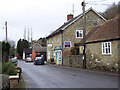
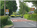
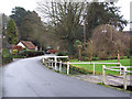
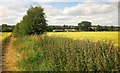
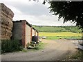
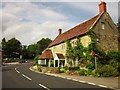
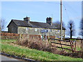
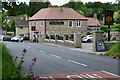
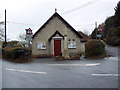
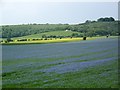
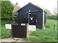
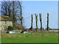
35 photos from this area
Area Information
Key information about the SP3 5JL including its size, population, and administrative classification.
- Area Type
- Postcode
- Area Size
- 17.8 hectares
- Population
- 1139
- Population Density
- 51 people/km²
House Prices in SP3 5JL
42
Properties
£459,698
Average Sold Price
£82,500
Lowest Price
£1,500,000
Highest Price
Showing 42 properties
| Address | Type | Beds | Baths | Last Sale Price | Last Sale Date | |
|---|---|---|---|---|---|---|
| Riversdale, High Street, Fovant, SP3 5JL | Detached | 4 | 2 | £735,000 | Nov 2025 | |
| Little Barrow, High Street, Fovant, SP3 5JL | house | 4 | 2 | £625,000 | Mar 2025 | |
| Brookside Cottage, High Street, Fovant, SP3 5JL | house | - | - | £467,500 | Sep 2023 | |
| Bakers Cottage, High Street, Fovant, SP3 5JL | Cottage | 3 | 2 | £345,000 | Jul 2023 | |
| Dene Cottage, High Street, Fovant, SP3 5JL | house | 2 | - | £305,000 | Nov 2022 | |
| The Little Malt House, High Street, Fovant, SP3 5JL | house | 3 | - | £455,000 | Jan 2022 | |
| Medland Cottage, High Street, Fovant, SP3 5JL | house | - | - | £450,000 | Feb 2021 | |
| Springmead, High Street, Fovant, SP3 5JL | Bungalow | 3 | 2 | £595,000 | Jun 2020 | |
| The Firs, High Street, Fovant, SP3 5JL | Detached | 6 | 3 | £1,500,000 | Sep 2019 | |
| Wagtails, High Street, Fovant, SP3 5JL | Detached | 2 | 1 | £295,000 | Feb 2019 |
Page 1 of 5
Energy Efficiency in SP3 5JL
Amenities
Schools
| Rank | School | Type | Entry gender | Ages |
|---|
Explore more schools in this area
Go to Schools tabDemographics
Household Size
Two person
most common
Accommodation Type
Houses
most common
Tenure
75
majority
Ethnic Group
White
most common
Religion
N/A
most common
Household Composition
N/A
most common
Age
47
median
Adults (30-64 years)
most common
Household Deprivation
N/A
with no deprivation
NS-SEC
47
in Lower managerial occupations
Explore more demographic insights in this area
Go to Demographics tabPlanning
Planning Constraints
- Flood RiskPremium
- Ramsar Wetland SitesPremium
- Area of Outstanding Natural BeautyPremium
- Protected Nature ReservePremium
- Protected WoodlandPremium