Area Overview for SP3 4NN
Photos of SP3 4NN
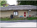
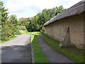
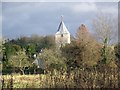
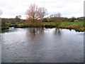
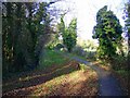
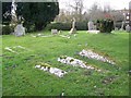
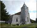
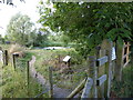
81 photos from this area
Area Information
Key information about the SP3 4NN including its size, population, and administrative classification.
- Area Type
- Postcode
- Area Size
- 9.8 hectares
- Population
- 1317
- Population Density
- 24 people/km²
House Prices in SP3 4NN
35
Properties
£481,174
Average Sold Price
£144,950
Lowest Price
£1,150,000
Highest Price
Showing 35 properties
| Address | Type | Beds | Baths | Last Sale Price | Last Sale Date | |
|---|---|---|---|---|---|---|
| Jesolo, Wylye Road, Hanging Langford, SP3 4NN | Bungalow | 4 | 2 | £1,150,000 | Jun 2025 | |
| Acremans, The Hollow, Hanging Langford, SP3 4NN | Detached | 4 | 2 | £695,000 | Jul 2024 | |
| Robins Rest, Wylye Road, Hanging Langford, SP3 4NN | Bungalow | 5 | 2 | £600,000 | May 2024 | |
| Trunkles, Wylye Road, Hanging Langford, SP3 4NN | Detached | 4 | 1 | £400,000 | Apr 2024 | |
| Yew Tree Cottage, Wylye Road, Hanging Langford, SP3 4NN | Detached | 3 | 2 | £660,000 | Dec 2022 | |
| Harroway, Wylye Road, Hanging Langford, SP3 4NN | house | - | - | £558,000 | Oct 2017 | |
| The White Cottage, Wylye Road, Hanging Langford, SP3 4NN | house | - | - | £555,000 | May 2016 | |
| Grace Cottage, Wylye Road, Hanging Langford, SP3 4NN | Detached | 4 | - | £575,000 | Aug 2015 | |
| Wagtail Cottage, Wylye Road, Hanging Langford, SP3 4NN | Detached | 4 | 2 | £525,000 | Jul 2014 | |
| Hornbeam Cottage, Wylye Road, Hanging Langford, SP3 4NN | house | 4 | - | £395,000 | Nov 2011 |
Page 1 of 4
Energy Efficiency in SP3 4NN
Amenities
Schools
| Rank | School | Type | Entry gender | Ages |
|---|
Explore more schools in this area
Go to Schools tabDemographics
Household Size
Two person
most common
Accommodation Type
Houses
most common
Tenure
74
majority
Ethnic Group
White
most common
Religion
N/A
most common
Household Composition
N/A
most common
Age
47
median
Adults (30-64 years)
most common
Household Deprivation
N/A
with no deprivation
NS-SEC
45
in Lower managerial occupations
Explore more demographic insights in this area
Go to Demographics tabPlanning
Planning Constraints
- Flood RiskPremium
- Ramsar Wetland SitesPremium
- Area of Outstanding Natural BeautyPremium
- Protected Nature ReservePremium
- Protected WoodlandPremium