Area Overview for SP3 4LN
Photos of SP3 4LN
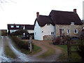
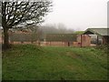
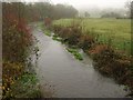
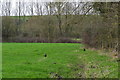
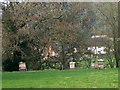
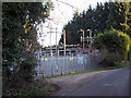

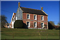
15 photos from this area
Area Information
Key information about the SP3 4LN including its size, population, and administrative classification.
- Area Type
- Postcode
- Area Size
- 6.7 hectares
- Population
- 1317
- Population Density
- 24 people/km²
House Prices in SP3 4LN
11
Properties
£531,429
Average Sold Price
£365,000
Lowest Price
£1,120,000
Highest Price
Showing 11 properties
| Address | Type | Beds | Baths | Last Sale Price | Last Sale Date | |
|---|---|---|---|---|---|---|
| Bankside, Berwick Road, Stapleford, SP3 4LN | Detached | 3 | 2 | £450,000 | Aug 2025 | |
| Lavender Cottage, Berwick Road, Stapleford, SP3 4LN | Detached | 2 | 1 | £495,000 | Mar 2023 | |
| Sandringham Cottage, Berwick Road, Stapleford, SP3 4LN | Detached | 4 | 2 | £515,000 | Oct 2022 | |
| Church Farm House, Berwick Road, Stapleford, SP3 4LN | house | - | - | £1,120,000 | Aug 2019 | |
| Danvers Cottage, Berwick Road, Stapleford, SP3 4LN | house | - | - | £365,000 | Jul 2011 | |
| Stapleford Cottage, Berwick Road, Stapleford, SP3 4LN | house | 5 | - | £375,000 | Jul 2000 | |
| Till House, Berwick Road, Stapleford, SP3 4LN | Detached | - | - | £400,000 | Dec 1997 | |
| The Malt House, Berwick Road, Stapleford, SP3 4LN | Detached | - | - | - | - | |
| Ivy Cottage, Berwick Road, Stapleford, SP3 4LN | house | - | - | - | - | |
| Carters Cottage, Berwick Road, Stapleford, SP3 4LN | Detached | - | - | - | - |
Page 1 of 2
Energy Efficiency in SP3 4LN
Amenities
Schools
| Rank | School | Type | Entry gender | Ages |
|---|
Explore more schools in this area
Go to Schools tabDemographics
Household Size
Two person
most common
Accommodation Type
Houses
most common
Tenure
74
majority
Ethnic Group
White
most common
Religion
N/A
most common
Household Composition
N/A
most common
Age
47
median
Adults (30-64 years)
most common
Household Deprivation
N/A
with no deprivation
NS-SEC
45
in Lower managerial occupations
Explore more demographic insights in this area
Go to Demographics tabPlanning
Planning Constraints
- Flood RiskPremium
- Ramsar Wetland SitesPremium
- Area of Outstanding Natural BeautyPremium
- Protected Nature ReservePremium
- Protected WoodlandPremium