Area Overview for SP2 9HW
Photos of SP2 9HW
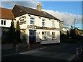
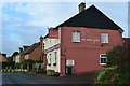
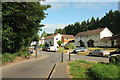
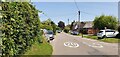
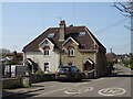
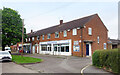
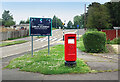
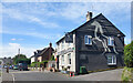
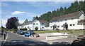
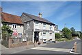
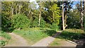
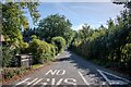
30 photos from this area
Area Information
Key information about the SP2 9HW including its size, population, and administrative classification.
- Area Type
- Postcode
- Area Size
- 5461 m²
- Population
- 1576
- Population Density
- 1524 people/km²
House Prices in SP2 9HW
24
Properties
£110,500
Average Sold Price
£60,000
Lowest Price
£180,000
Highest Price
Showing 24 properties
| Address | Type | Beds | Baths | Last Sale Price | Last Sale Date | |
|---|---|---|---|---|---|---|
| 138 Westwood Road, Bemerton Heath, Salisbury, SP2 9HW | Flat | - | - | £112,500 | Dec 2018 | |
| 168 Westwood Road, Bemerton Heath, Salisbury, SP2 9HW | house | - | - | £180,000 | Dec 2016 | |
| 132 Westwood Road, Bemerton Heath, Salisbury, SP2 9HW | Flat | - | - | £89,500 | Aug 2014 | |
| 164 Westwood Road, Bemerton Heath, Salisbury, SP2 9HW | Semi-detached | - | - | £60,000 | Nov 1998 | |
| 128 Westwood Road, Bemerton Heath, Salisbury, SP2 9HW | Flat | - | - | - | - | |
| 126 Westwood Road, Bemerton Heath, Salisbury, SP2 9HW | Flat | - | - | - | - | |
| 136 Westwood Road, Bemerton Heath, Salisbury, SP2 9HW | Flat | - | - | - | - | |
| 150 Westwood Road, Bemerton Heath, Salisbury, SP2 9HW | Flat | - | - | - | - | |
| 166 Westwood Road, Bemerton Heath, Salisbury, SP2 9HW | Semi-detached | - | - | - | - | |
| 162 Westwood Road, Bemerton Heath, Salisbury, SP2 9HW | Semi-detached | - | - | - | - |
Page 1 of 3
Energy Efficiency in SP2 9HW
Amenities
Schools
| Rank | School | Type | Entry gender | Ages |
|---|
Explore more schools in this area
Go to Schools tabDemographics
Household Size
Family (3-5 people)
most common
Accommodation Type
Houses
most common
Tenure
42
majority
Ethnic Group
White
most common
Religion
N/A
most common
Household Composition
N/A
most common
Age
47
median
Adults (30-64 years)
most common
Household Deprivation
N/A
with no deprivation
NS-SEC
17
in Lower managerial occupations
Explore more demographic insights in this area
Go to Demographics tabPlanning
Planning Constraints
- Flood RiskPremium
- Ramsar Wetland SitesPremium
- Area of Outstanding Natural BeautyPremium
- Protected Nature ReservePremium
- Protected WoodlandPremium