Area Overview for SP2 9BU
Photos of SP2 9BU
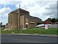
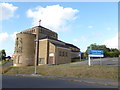
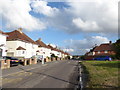
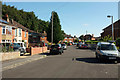
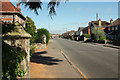
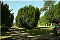
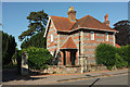
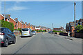
46 photos from this area
Area Information
Key information about the SP2 9BU including its size, population, and administrative classification.
- Area Type
- Postcode
- Area Size
- 8645 m²
- Population
- 1398
- Population Density
- 1767 people/km²
House Prices in SP2 9BU
25
Properties
£256,627
Average Sold Price
£85,000
Lowest Price
£325,000
Highest Price
Showing 25 properties
| Address | Type | Beds | Baths | Last Sale Price | Last Sale Date | |
|---|---|---|---|---|---|---|
| 23 Wellington Way, Salisbury, SP2 9BU | house | - | - | £320,000 | Oct 2025 | |
| 17 Wellington Way, Salisbury, SP2 9BU | Detached | 3 | 1 | £320,000 | Jul 2025 | |
| 29 Wellington Way, Salisbury, SP2 9BU | Semi-detached | 3 | 1 | £287,500 | May 2024 | |
| 1 Wellington Way, Salisbury, SP2 9BU | Detached | 3 | 1 | £296,000 | Mar 2024 | |
| 33 Wellington Way, Salisbury, SP2 9BU | house | - | - | £300,000 | Dec 2023 | |
| 11 Wellington Way, Salisbury, SP2 9BU | house | - | - | £300,000 | Jun 2023 | |
| 43 Wellington Way, Salisbury, SP2 9BU | Semi-detached | 3 | 1 | £308,000 | Apr 2023 | |
| 35 Wellington Way, Salisbury, SP2 9BU | Semi-detached | 3 | 1 | £310,000 | Jul 2022 | |
| 1, Wellington Mews, Wellington Way, Salisbury, SP2 9BU | Detached | 3 | - | £299,950 | Mar 2019 | |
| 7 Wellington Way, Salisbury, SP2 9BU | Detached | 3 | - | £325,000 | Dec 2018 |
Page 1 of 3
Energy Efficiency in SP2 9BU
Amenities
Schools
| Rank | School | Type | Entry gender | Ages |
|---|
Explore more schools in this area
Go to Schools tabDemographics
Household Size
Two person
most common
Accommodation Type
Houses
most common
Tenure
71
majority
Ethnic Group
White
most common
Religion
N/A
most common
Household Composition
N/A
most common
Age
47
median
Adults (30-64 years)
most common
Household Deprivation
N/A
with no deprivation
NS-SEC
30
in Lower managerial occupations
Explore more demographic insights in this area
Go to Demographics tabPlanning
Planning Constraints
- Flood RiskPremium
- Ramsar Wetland SitesPremium
- Area of Outstanding Natural BeautyPremium
- Protected Nature ReservePremium
- Protected WoodlandPremium