Area Overview for SP2 8HX
Photos of SP2 8HX
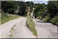
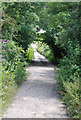
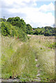
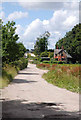
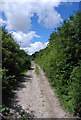
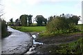
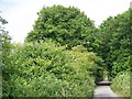
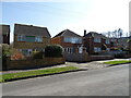
24 photos from this area
Area Information
Key information about the SP2 8HX including its size, population, and administrative classification.
- Area Type
- Postcode
- Area Size
- 9.9 hectares
- Population
- 2161
- Population Density
- 52 people/km²
House Prices in SP2 8HX
47
Properties
£157,223
Average Sold Price
£64,950
Lowest Price
£250,000
Highest Price
Showing 47 properties
| Address | Type | Beds | Baths | Last Sale Price | Last Sale Date | |
|---|---|---|---|---|---|---|
| 146 Essex Square, Harnham, Salisbury, SP2 8HX | Flat | 1 | - | £126,500 | May 2025 | |
| 134 Essex Square, Harnham, Salisbury, SP2 8HX | Terraced | 3 | 1 | £250,000 | Dec 2021 | |
| 166 Essex Square, Harnham, Salisbury, SP2 8HX | Maisonette | 2 | 1 | £152,000 | Mar 2019 | |
| 118 Essex Square, Harnham, Salisbury, SP2 8HX | house | - | - | £240,000 | Aug 2018 | |
| 174 Essex Square, Harnham, Salisbury, SP2 8HX | Maisonette | 2 | 1 | £155,000 | Dec 2017 | |
| 162 Essex Square, Harnham, Salisbury, SP2 8HX | Maisonette | - | - | £152,000 | Sep 2017 | |
| 156 Essex Square, Harnham, Salisbury, SP2 8HX | Terraced | 2 | - | £182,000 | Jul 2015 | |
| 148 Essex Square, Harnham, Salisbury, SP2 8HX | house | 2 | - | £159,000 | Jun 2011 | |
| 150 Essex Square, Harnham, Salisbury, SP2 8HX | Semi-detached | - | - | £152,000 | Jun 2005 | |
| 136 Essex Square, Harnham, Salisbury, SP2 8HX | Semi-detached | - | - | £96,000 | Jul 2000 |
Page 1 of 5
Energy Efficiency in SP2 8HX
Amenities
Schools
| Rank | School | Type | Entry gender | Ages |
|---|
Explore more schools in this area
Go to Schools tabDemographics
Household Size
Two person
most common
Accommodation Type
Houses
most common
Tenure
64
majority
Ethnic Group
White
most common
Religion
N/A
most common
Household Composition
N/A
most common
Age
47
median
Adults (30-64 years)
most common
Household Deprivation
N/A
with no deprivation
NS-SEC
46
in Lower managerial occupations
Explore more demographic insights in this area
Go to Demographics tabPlanning
Planning Constraints
- Flood RiskPremium
- Ramsar Wetland SitesPremium
- Area of Outstanding Natural BeautyPremium
- Protected Nature ReservePremium
- Protected WoodlandPremium