Area Overview for SP2 0RP
Photos of SP2 0RP
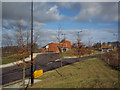

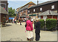
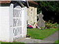
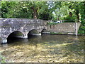
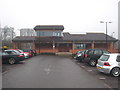
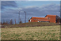

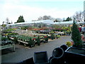
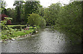
87 photos from this area
Area Information
Key information about the SP2 0RP including its size, population, and administrative classification.
- Area Type
- Postcode
- Area Size
- 1.0 hectares
- Population
- 2113
- Population Density
- 930 people/km²
House Prices in SP2 0RP
20
Properties
£174,129
Average Sold Price
£54,400
Lowest Price
£257,500
Highest Price
Showing 20 properties
| Address | Type | Beds | Baths | Last Sale Price | Last Sale Date | |
|---|---|---|---|---|---|---|
| 8 Kings Gate, Wilton, SP2 0RP | Terraced | 2 | 1 | £243,000 | Jul 2023 | |
| 15 Kings Gate, Wilton, SP2 0RP | house | - | - | £255,000 | May 2023 | |
| 5 Kings Gate, Wilton, SP2 0RP | Terraced | 2 | - | £257,500 | Mar 2022 | |
| 12 Kings Gate, Wilton, SP2 0RP | Terraced | 2 | 1 | £220,000 | Jan 2020 | |
| 2 Kings Gate, Wilton, SP2 0RP | house | - | - | £187,600 | Mar 2019 | |
| 6 Kings Gate, Wilton, SP2 0RP | Terraced | 2 | 1 | £218,500 | Oct 2018 | |
| 18 Kings Gate, Wilton, SP2 0RP | house | 3 | 1 | £235,000 | Nov 2016 | |
| 3 Kings Gate, Wilton, SP2 0RP | Cottage | 2 | 2 | £239,999 | Feb 2016 | |
| 19 Kings Gate, Wilton, SP2 0RP | Detached | 2 | 1 | £217,500 | Dec 2014 | |
| 14 Kings Gate, Wilton, SP2 0RP | house | - | - | £156,000 | Apr 2009 |
Page 1 of 2
Energy Efficiency in SP2 0RP
Amenities
Schools
| Rank | School | Type | Entry gender | Ages |
|---|
Explore more schools in this area
Go to Schools tabDemographics
Household Size
One person
most common
Accommodation Type
Houses
most common
Tenure
60
majority
Ethnic Group
White
most common
Religion
N/A
most common
Household Composition
N/A
most common
Age
47
median
Adults (30-64 years)
most common
Household Deprivation
N/A
with no deprivation
NS-SEC
41
in Lower managerial occupations
Explore more demographic insights in this area
Go to Demographics tabPlanning
Planning Constraints
- Flood RiskPremium
- Ramsar Wetland SitesPremium
- Area of Outstanding Natural BeautyPremium
- Protected Nature ReservePremium
- Protected WoodlandPremium