Area Overview for SP2 0EX
Photos of SP2 0EX
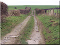
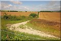
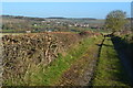
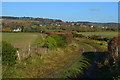
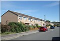
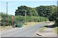
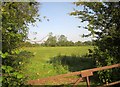
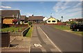
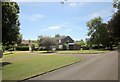
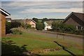
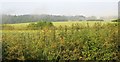
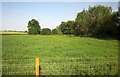
16 photos from this area
Area Information
Key information about the SP2 0EX including its size, population, and administrative classification.
- Area Type
- Postcode
- Area Size
- 2.4 hectares
- Population
- 1402
- Population Density
- 100 people/km²
House Prices in SP2 0EX
67
Properties
£158,316
Average Sold Price
£43,300
Lowest Price
£240,000
Highest Price
Showing 67 properties
| Address | Type | Beds | Baths | Last Sale Price | Last Sale Date | |
|---|---|---|---|---|---|---|
| 34 Randalls Croft Road, Wilton, SP2 0EX | Terraced | 4 | 2 | £240,000 | Apr 2024 | |
| 134 Randalls Croft Road, Wilton, SP2 0EX | Flat | 2 | 1 | £125,000 | May 2023 | |
| 104 Randalls Croft Road, Wilton, SP2 0EX | Flat | - | - | £140,000 | Sep 2021 | |
| 20 Randalls Croft Road, Wilton, SP2 0EX | house | - | - | £220,000 | Jun 2021 | |
| 58 Randalls Croft Road, Wilton, SP2 0EX | Terraced | 3 | 1 | £160,000 | Sep 2020 | |
| 6 Randalls Croft Road, Wilton, SP2 0EX | Terraced | 2 | - | £195,000 | Nov 2019 | |
| 4 Randalls Croft Road, Wilton, SP2 0EX | Terraced | 2 | 2 | £194,850 | Mar 2019 | |
| 40 Randalls Croft Road, Wilton, SP2 0EX | house | - | - | £205,000 | Nov 2018 | |
| 84 Randalls Croft Road, Wilton, SP2 0EX | Terraced | 3 | 1 | £225,000 | Nov 2017 | |
| 36 Randalls Croft Road, Wilton, SP2 0EX | Terraced | 4 | - | £195,000 | Feb 2017 |
Page 1 of 7
Energy Efficiency in SP2 0EX
Amenities
Schools
| Rank | School | Type | Entry gender | Ages |
|---|
Explore more schools in this area
Go to Schools tabDemographics
Household Size
Two person
most common
Accommodation Type
Houses
most common
Tenure
61
majority
Ethnic Group
White
most common
Religion
N/A
most common
Household Composition
N/A
most common
Age
47
median
Adults (30-64 years)
most common
Household Deprivation
N/A
with no deprivation
NS-SEC
30
in Lower managerial occupations
Explore more demographic insights in this area
Go to Demographics tabPlanning
Planning Constraints
- Flood RiskPremium
- Ramsar Wetland SitesPremium
- Area of Outstanding Natural BeautyPremium
- Protected Nature ReservePremium
- Protected WoodlandPremium