Area Overview for SP2 0DW
Photos of SP2 0DW
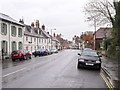
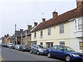
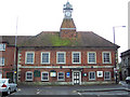
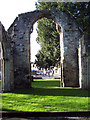
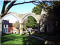
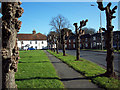
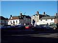

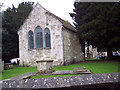
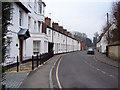
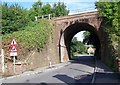
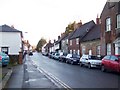
100 photos from this area
Area Information
Key information about the SP2 0DW including its size, population, and administrative classification.
- Area Type
- Postcode
- Area Size
- 6837 m²
- Population
- 2113
- Population Density
- 930 people/km²
House Prices in SP2 0DW
14
Properties
£317,559
Average Sold Price
£85,000
Lowest Price
£950,000
Highest Price
Showing 14 properties
| Address | Type | Beds | Baths | Last Sale Price | Last Sale Date | |
|---|---|---|---|---|---|---|
| 17 St Johns Square, Wilton, SP2 0DW | Terraced | 3 | 1 | £370,975 | Jul 2025 | |
| 23 St Johns Square, Wilton, SP2 0DW | house | - | - | £950,000 | Nov 2023 | |
| 18 St Johns Square, Wilton, SP2 0DW | Terraced | 3 | 1 | £300,000 | Aug 2023 | |
| 21 St Johns Square, Wilton, SP2 0DW | Terraced | 3 | - | £267,500 | Feb 2017 | |
| 16 St Johns Square, Wilton, SP2 0DW | house | 4 | - | £295,000 | Jan 2011 | |
| 32 St Johns Square, Wilton, SP2 0DW | house | - | - | £100,000 | Nov 2006 | |
| 20 St Johns Square, Wilton, SP2 0DW | Terraced | - | - | £172,000 | Dec 2003 | |
| 13 St Johns Square, Wilton, SP2 0DW | Terraced | 3 | 1 | £85,000 | Feb 2000 | |
| 31 St Johns Square, Wilton, SP2 0DW | house | 3 | - | - | - | |
| 19 St Johns Square, Wilton, SP2 0DW | Terraced | - | - | - | - |
Page 1 of 2
Energy Efficiency in SP2 0DW
Amenities
Schools
| Rank | School | Type | Entry gender | Ages |
|---|
Explore more schools in this area
Go to Schools tabDemographics
Household Size
One person
most common
Accommodation Type
Houses
most common
Tenure
60
majority
Ethnic Group
White
most common
Religion
N/A
most common
Household Composition
N/A
most common
Age
47
median
Adults (30-64 years)
most common
Household Deprivation
N/A
with no deprivation
NS-SEC
41
in Lower managerial occupations
Explore more demographic insights in this area
Go to Demographics tabPlanning
Planning Constraints
- Flood RiskPremium
- Ramsar Wetland SitesPremium
- Area of Outstanding Natural BeautyPremium
- Protected Nature ReservePremium
- Protected WoodlandPremium