Area Overview for SP2 0DU
Photos of SP2 0DU
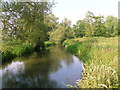
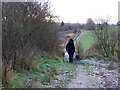
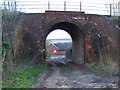
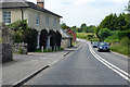
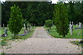
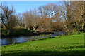
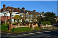
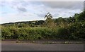
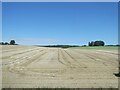
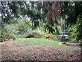
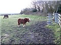
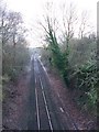
39 photos from this area
Area Information
Key information about the SP2 0DU including its size, population, and administrative classification.
- Area Type
- Postcode
- Area Size
- 7.2 hectares
- Population
- 1322
- Population Density
- 556 people/km²
House Prices in SP2 0DU
21
Properties
£345,786
Average Sold Price
£133,000
Lowest Price
£575,000
Highest Price
Showing 21 properties
| Address | Type | Beds | Baths | Last Sale Price | Last Sale Date | |
|---|---|---|---|---|---|---|
| 63 Shaftesbury Road, Wilton, SP2 0DU | house | - | - | £505,000 | Mar 2023 | |
| 73 Shaftesbury Road, Wilton, SP2 0DU | Detached | 3 | - | £575,000 | Jan 2022 | |
| 69 Shaftesbury Road, Wilton, SP2 0DU | Bungalow | 3 | 2 | £340,000 | Aug 2019 | |
| 81 Shaftesbury Road, Wilton, SP2 0DU | Detached | 3 | - | £395,000 | Jul 2017 | |
| 77 Shaftesbury Road, Wilton, SP2 0DU | Detached | 5 | - | £429,000 | Nov 2016 | |
| 61 Shaftesbury Road, Wilton, SP2 0DU | Detached | 5 | 3 | £500,000 | May 2014 | |
| 79 Shaftesbury Road, Wilton, SP2 0DU | Detached | 4 | - | £380,000 | Jan 2013 | |
| 85 Shaftesbury Road, Wilton, SP2 0DU | Terraced | - | - | £305,000 | Apr 2008 | |
| 87-89 Shaftesbury Road, Wilton, SP2 0DU | Terraced | - | - | £296,000 | Nov 2006 | |
| 67 Shaftesbury Road, Wilton, SP2 0DU | Terraced | - | - | £249,000 | Aug 2005 |
Page 1 of 3
Energy Efficiency in SP2 0DU
Amenities
Schools
| Rank | School | Type | Entry gender | Ages |
|---|
Explore more schools in this area
Go to Schools tabDemographics
Household Size
Two person
most common
Accommodation Type
Houses
most common
Tenure
68
majority
Ethnic Group
White
most common
Religion
N/A
most common
Household Composition
N/A
most common
Age
47
median
Adults (30-64 years)
most common
Household Deprivation
N/A
with no deprivation
NS-SEC
42
in Lower managerial occupations
Explore more demographic insights in this area
Go to Demographics tabPlanning
Planning Constraints
- Flood RiskPremium
- Ramsar Wetland SitesPremium
- Area of Outstanding Natural BeautyPremium
- Protected Nature ReservePremium
- Protected WoodlandPremium