Area Overview for SP11 9EN
Photos of SP11 9EN
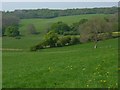

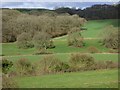
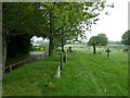
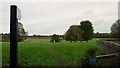
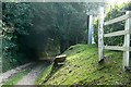
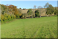
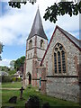
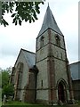
10 photos from this area
Area Information
Key information about the SP11 9EN including its size, population, and administrative classification.
- Area Type
- Postcode
- Area Size
- 1.1 km²
- Population
- 1965
- Population Density
- 22 people/km²
House Prices in SP11 9EN
5
Properties
£1,132,500
Average Sold Price
£165,000
Lowest Price
£2,100,000
Highest Price
Showing 5 properties
| Address | Type | Beds | Baths | Last Sale Price | Last Sale Date | |
|---|---|---|---|---|---|---|
| The Old Vicarage, Forest Lane North And East Past Parsonage Farm To T Junction, Upper Chute, SP11 9EN | Detached | 5 | 2 | £2,100,000 | Feb 2024 | |
| Vicarage Cottage, Forest Lane North And East Past Parsonage Farm To T Junction, Upper Chute, SP11 9EN | Detached | - | - | £165,000 | Nov 1998 | |
| Parsonage Farm, Forest Lane North And East Past Parsonage Farm To T Junction, Upper Chute, SP11 9EN | Detached | - | - | - | - | |
| The Coach House, Upper Chute Northeast C 256 To Dummer Lane, Upper Chute, SP11 9EN | Detached | - | - | - | - | |
| Old Mill Barn, Forest Lane North And East Past Parsonage Farm To T Junction, Upper Chute, SP11 9EN | Detached | - | - | - | - |
Energy Efficiency in SP11 9EN
Amenities
Schools
| Rank | School | Type | Entry gender | Ages |
|---|
Explore more schools in this area
Go to Schools tabDemographics
Household Size
Two person
most common
Accommodation Type
Houses
most common
Tenure
70
majority
Ethnic Group
White
most common
Religion
N/A
most common
Household Composition
N/A
most common
Age
47
median
Adults (30-64 years)
most common
Household Deprivation
N/A
with no deprivation
NS-SEC
45
in Lower managerial occupations
Explore more demographic insights in this area
Go to Demographics tabPlanning
Planning Constraints
- Flood RiskPremium
- Ramsar Wetland SitesPremium
- Area of Outstanding Natural BeautyPremium
- Protected Nature ReservePremium
- Protected WoodlandPremium