Area Overview for SN8 3XA
Photos of SN8 3XA

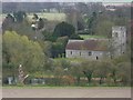
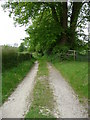
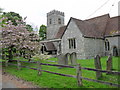

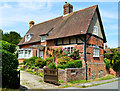
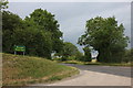
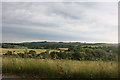
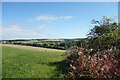


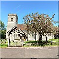
43 photos from this area
Area Information
Key information about the SN8 3XA including its size, population, and administrative classification.
- Area Type
- Postcode
- Area Size
- 33.4 hectares
- Population
- 1965
- Population Density
- 22 people/km²
House Prices in SN8 3XA
14
Properties
£670,636
Average Sold Price
£340,000
Lowest Price
£1,550,000
Highest Price
Showing 14 properties
| Address | Type | Beds | Baths | Last Sale Price | Last Sale Date | |
|---|---|---|---|---|---|---|
| The Bothy, Mill Lane, Shalbourne, SN8 3XA | Bungalow | - | - | £1,475,000 | Mar 2021 | |
| Mill Bank, Mill Lane, Shalbourne, SN8 3XA | Bungalow | - | - | £540,000 | Oct 2019 | |
| Mill House, Mill Lane, Shalbourne, SN8 3XA | Detached | 6 | 4 | £1,550,000 | Aug 2019 | |
| Tucks Cottage, Mill Lane, Shalbourne, SN8 3XA | house | - | - | £785,000 | Aug 2016 | |
| 2, Melrose Cottage, Mill Lane, Shalbourne, SN8 3XA | Semi-detached | 3 | - | £385,000 | Mar 2016 | |
| 1, Melrose Cottage, Mill Lane, Shalbourne, SN8 3XA | Semi-detached | 3 | - | £385,000 | Oct 2015 | |
| Winterfold, Mill Lane, Shalbourne, SN8 3XA | Detached | 4 | - | £585,000 | Jan 2014 | |
| Colerne, Mill Lane, Shalbourne, SN8 3XA | Bungalow | 3 | 1 | £375,000 | Nov 2013 | |
| Rotherfield, Mill Lane, Shalbourne, SN8 3XA | house | 4 | - | £530,000 | Mar 2013 | |
| Melrose House, Mill Lane, Shalbourne, SN8 3XA | house | - | - | £427,000 | Jul 2012 |
Page 1 of 2
Energy Efficiency in SN8 3XA
Amenities
Schools
| Rank | School | Type | Entry gender | Ages |
|---|
Explore more schools in this area
Go to Schools tabDemographics
Household Size
Two person
most common
Accommodation Type
Houses
most common
Tenure
70
majority
Ethnic Group
White
most common
Religion
N/A
most common
Household Composition
N/A
most common
Age
47
median
Adults (30-64 years)
most common
Household Deprivation
N/A
with no deprivation
NS-SEC
45
in Lower managerial occupations
Explore more demographic insights in this area
Go to Demographics tabPlanning
Planning Constraints
- Flood RiskPremium
- Ramsar Wetland SitesPremium
- Area of Outstanding Natural BeautyPremium
- Protected Nature ReservePremium
- Protected WoodlandPremium