Area Overview for SN8 3TA
Photos of SN8 3TA
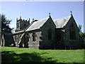
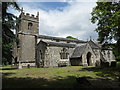
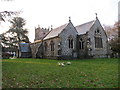
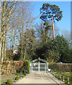
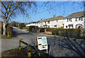
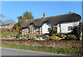
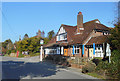
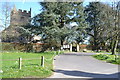
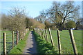
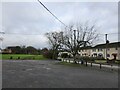
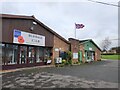
39 photos from this area
Area Information
Key information about the SN8 3TA including its size, population, and administrative classification.
- Area Type
- Postcode
- Area Size
- 8568 m²
- Population
- 1931
- Population Density
- 111 people/km²
House Prices in SN8 3TA
9
Properties
£336,086
Average Sold Price
£170,000
Lowest Price
£520,000
Highest Price
Showing 9 properties
| Address | Type | Beds | Baths | Last Sale Price | Last Sale Date | |
|---|---|---|---|---|---|---|
| 8 Sprays, Burbage, SN8 3TA | Bungalow | 2 | 2 | £495,000 | Aug 2024 | |
| Bay Tree Corner, 2 Sprays, Burbage, SN8 3TA | Bungalow | 3 | 2 | £520,000 | Aug 2023 | |
| Edelweiss, 1 Sprays, Burbage, SN8 3TA | Bungalow | 3 | 2 | £397,600 | Dec 2021 | |
| 10 Sprays, Burbage, SN8 3TA | Detached | 3 | 1 | £307,000 | Jul 2014 | |
| 4 Sprays, Burbage, SN8 3TA | Bungalow | 3 | - | £200,000 | Aug 2011 | |
| 6 Sprays, Burbage, SN8 3TA | Semi-detached | 3 | 1 | £263,000 | Nov 2007 | |
| 12 Sprays, Burbage, SN8 3TA | Detached | - | - | £170,000 | Sep 2004 | |
| 5 Sprays, Burbage, SN8 3TA | house | - | - | - | - | |
| 3 Sprays, Burbage, SN8 3TA | Detached | - | - | - | - |
Energy Efficiency in SN8 3TA
Amenities
Schools
| Rank | School | Type | Entry gender | Ages |
|---|
Explore more schools in this area
Go to Schools tabDemographics
Household Size
Two person
most common
Accommodation Type
Houses
most common
Tenure
75
majority
Ethnic Group
White
most common
Religion
N/A
most common
Household Composition
N/A
most common
Age
47
median
Adults (30-64 years)
most common
Household Deprivation
N/A
with no deprivation
NS-SEC
41
in Lower managerial occupations
Explore more demographic insights in this area
Go to Demographics tabPlanning
Planning Constraints
- Flood RiskPremium
- Ramsar Wetland SitesPremium
- Area of Outstanding Natural BeautyPremium
- Protected Nature ReservePremium
- Protected WoodlandPremium