Area Overview for SN8 3HP
Photos of SN8 3HP
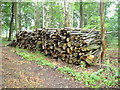
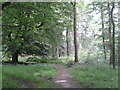
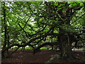
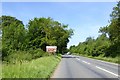
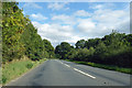

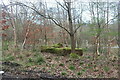
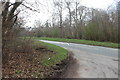
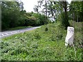
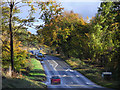
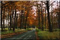
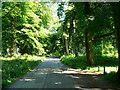
17 photos from this area
Area Information
Key information about the SN8 3HP including its size, population, and administrative classification.
- Area Type
- Postcode
- Area Size
- 5.4 km²
- Population
- 1590
- Population Density
- 28 people/km²
House Prices in SN8 3HP
7
Properties
£727,333
Average Sold Price
£522,000
Lowest Price
£1,100,000
Highest Price
Showing 7 properties
| Address | Type | Beds | Baths | Last Sale Price | Last Sale Date | |
|---|---|---|---|---|---|---|
| 1, Crabtree Cottages, Bower Road, Savernake, SN8 3HP | house | - | - | £522,000 | Feb 2023 | |
| Braydon Oak, Long Harry, Savernake, SN8 3HP | Detached | 3 | 1 | £1,100,000 | Jan 2015 | |
| 2, Crabtree Cottages, Bower Road, Savernake, SN8 3HP | Bungalow | 4 | - | £560,000 | Sep 2010 | |
| Caretakers Cottage, Savernake Lodge, Ashlade Firs Road, Savernake, SN8 3HP | Bungalow | - | - | - | - | |
| 66, Luton Lye, Grand Avenue, Savernake, SN8 3HP | Bungalow | 1 | 1 | - | - | |
| 67, Luton Lye, Grand Avenue, Savernake, SN8 3HP | house | - | - | - | - | |
| Savernake Lodge, Ashlade Firs Road, Savernake, SN8 3HP | Detached | - | - | - | - |
Energy Efficiency in SN8 3HP
Amenities
Schools
| Rank | School | Type | Entry gender | Ages |
|---|
Explore more schools in this area
Go to Schools tabDemographics
Household Size
Two person
most common
Accommodation Type
Houses
most common
Tenure
72
majority
Ethnic Group
White
most common
Religion
N/A
most common
Household Composition
N/A
most common
Age
47
median
Adults (30-64 years)
most common
Household Deprivation
N/A
with no deprivation
NS-SEC
42
in Lower managerial occupations
Explore more demographic insights in this area
Go to Demographics tabPlanning
Planning Constraints
- Flood RiskPremium
- Ramsar Wetland SitesPremium
- Area of Outstanding Natural BeautyPremium
- Protected Nature ReservePremium
- Protected WoodlandPremium