Area Overview for SN8 1SU
Photos of SN8 1SU
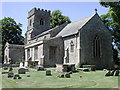
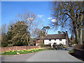
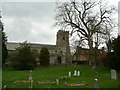
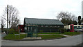
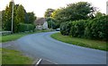

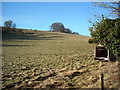
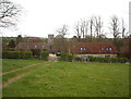

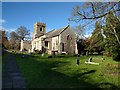

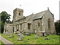
39 photos from this area
Area Information
Key information about the SN8 1SU including its size, population, and administrative classification.
- Area Type
- Postcode
- Area Size
- 92.5 hectares
- Population
- 1761
- Population Density
- 23 people/km²
House Prices in SN8 1SU
38
Properties
£563,152
Average Sold Price
£79,500
Lowest Price
£1,700,000
Highest Price
Showing 38 properties
| Address | Type | Beds | Baths | Last Sale Price | Last Sale Date | |
|---|---|---|---|---|---|---|
| The Gables, High Street, Ogbourne St George, SN8 1SU | Detached | 5 | 2 | £700,000 | Dec 2025 | |
| Meadow Cottage, Chiseldon Road, Ogbourne St George, SN8 1SU | Detached | 4 | 2 | £1,065,000 | Nov 2025 | |
| Home Farm House, Chiseldon Road, Ogbourne St George, SN8 1SU | house | - | - | £1,700,000 | Sep 2021 | |
| Beechlea, North West From Junction With C 189 To Foxglove Cottage, Ogbourne St George, SN8 1SU | Terraced | 3 | 3 | £495,000 | Aug 2021 | |
| Kingscot, Chiseldon Road, Ogbourne St George, SN8 1SU | Detached | 3 | 2 | £572,500 | Mar 2021 | |
| Bridge House, Chiseldon Road, Ogbourne St George, SN8 1SU | Detached | 4 | 2 | £810,000 | Aug 2020 | |
| The Forge, High Street, Ogbourne St George, SN8 1SU | Bungalow | - | - | £450,000 | Jun 2019 | |
| Springfield, High Street, Ogbourne St George, SN8 1SU | Bungalow | - | - | £450,000 | May 2019 | |
| Mill House, High Street, Ogbourne St George, SN8 1SU | Detached | 5 | 2 | £650,000 | Aug 2017 | |
| Rose Cottage, High Street, Ogbourne St George, SN8 1SU | house | 4 | - | £495,000 | Nov 2015 |
Page 1 of 4
Energy Efficiency in SN8 1SU
Amenities
Schools
| Rank | School | Type | Entry gender | Ages |
|---|
Explore more schools in this area
Go to Schools tabDemographics
Household Size
Two person
most common
Accommodation Type
Houses
most common
Tenure
64
majority
Ethnic Group
White
most common
Religion
N/A
most common
Household Composition
N/A
most common
Age
47
median
Adults (30-64 years)
most common
Household Deprivation
N/A
with no deprivation
NS-SEC
44
in Lower managerial occupations
Explore more demographic insights in this area
Go to Demographics tabPlanning
Planning Constraints
- Flood RiskPremium
- Ramsar Wetland SitesPremium
- Area of Outstanding Natural BeautyPremium
- Protected Nature ReservePremium
- Protected WoodlandPremium