Area Overview for SN6 7BZ
Photos of SN6 7BZ
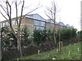
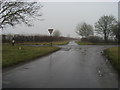
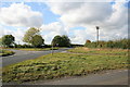
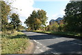
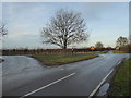
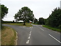
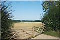
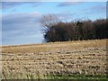
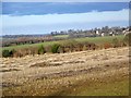
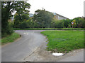
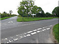
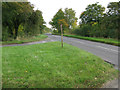
17 photos from this area
Area Information
Key information about the SN6 7BZ including its size, population, and administrative classification.
- Area Type
- Postcode
- Area Size
- 90.6 hectares
- Population
- 1612
- Population Density
- 63 people/km²
House Prices in SN6 7BZ
46
Properties
£353,371
Average Sold Price
£110,000
Lowest Price
£805,000
Highest Price
Showing 46 properties
| Address | Type | Beds | Baths | Last Sale Price | Last Sale Date | |
|---|---|---|---|---|---|---|
| 13 Shrivenham Road, Highworth, Swindon, SN6 7BZ | Semi-detached | 3 | 3 | £400,000 | Feb 2023 | |
| 34 Shrivenham Road, Highworth, Swindon, SN6 7QQ | Terraced | 3 | 4 | £805,000 | Sep 2022 | |
| The Small Hall, Shrivenham Road, Highworth, Swindon, SN6 7BZ | Terraced | 1 | 1 | £180,000 | Mar 2022 | |
| 11 Shrivenham Road, Highworth, Swindon, SN6 7BZ | Flat | 2 | 1 | £468,558 | Dec 2021 | |
| 20 Shrivenham Road, Highworth, Swindon, SN6 7BZ | Detached | 5 | 4 | £512,500 | Apr 2021 | |
| 3, School House Court, Shrivenham Road, Highworth, Swindon, SN6 7BZ | Flat | - | - | £150,000 | Jul 2020 | |
| 10 Shrivenham Road, Highworth, Swindon, SN6 7BZ | Bungalow | 4 | 2 | £497,500 | Feb 2020 | |
| 2, School House Court, Shrivenham Road, Highworth, Swindon, SN6 7BZ | Flat | 2 | 1 | £166,000 | Jul 2019 | |
| 9 Shrivenham Road, Highworth, Swindon, SN6 7BZ | Cottage | 3 | 2 | £306,000 | Oct 2018 | |
| Old School House, 2A Shrivenham Road, Highworth, Swindon, SN6 7BZ | Terraced | 5 | 3 | £312,500 | May 2018 |
Page 1 of 5
Energy Efficiency in SN6 7BZ
Amenities
Schools
| Rank | School | Type | Entry gender | Ages |
|---|
Explore more schools in this area
Go to Schools tabDemographics
Household Size
Two person
most common
Accommodation Type
Houses
most common
Tenure
81
majority
Ethnic Group
White
most common
Religion
N/A
most common
Household Composition
N/A
most common
Age
47
median
Adults (30-64 years)
most common
Household Deprivation
N/A
with no deprivation
NS-SEC
40
in Lower managerial occupations
Explore more demographic insights in this area
Go to Demographics tabPlanning
Planning Constraints
- Flood RiskPremium
- Ramsar Wetland SitesPremium
- Area of Outstanding Natural BeautyPremium
- Protected Nature ReservePremium
- Protected WoodlandPremium