Area Overview for SN4 8HG
Photos of SN4 8HG

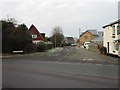
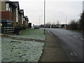
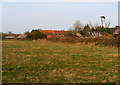
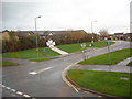

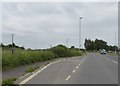

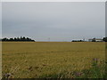
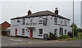
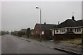
55 photos from this area
Area Information
Key information about the SN4 8HG including its size, population, and administrative classification.
- Area Type
- Postcode
- Area Size
- 5329 m²
- Population
- 1945
- Population Density
- 5051 people/km²
House Prices in SN4 8HG
36
Properties
£69,560
Average Sold Price
£17,500
Lowest Price
£103,000
Highest Price
Showing 36 properties
| Address | Type | Beds | Baths | Last Sale Price | Last Sale Date | |
|---|---|---|---|---|---|---|
| 15, Marlborough Court, Shakespeare Road, Royal Wootton Bassett, SN4 8HG | Flat | 1 | 1 | £88,000 | Sep 2025 | |
| 25, Marlborough Court, Shakespeare Road, Royal Wootton Bassett, SN4 8HG | Flat | - | - | £91,500 | Apr 2024 | |
| 2, Marlborough Court, Shakespeare Road, Royal Wootton Bassett, SN4 8HG | Flat | 1 | 1 | £89,000 | Apr 2024 | |
| 35, Marlborough Court, Shakespeare Road, Royal Wootton Bassett, SN4 8HG | Flat | - | 1 | £85,000 | Feb 2024 | |
| 22, Marlborough Court, Shakespeare Road, Royal Wootton Bassett, SN4 8HG | Flat | 1 | 1 | £93,000 | Feb 2023 | |
| 9, Marlborough Court, Shakespeare Road, Royal Wootton Bassett, SN4 8HG | Flat | - | 1 | £92,500 | Jun 2022 | |
| 19, Marlborough Court, Shakespeare Road, Royal Wootton Bassett, SN4 8HG | Flat | - | - | £72,500 | May 2022 | |
| 14, Marlborough Court, Shakespeare Road, Royal Wootton Bassett, SN4 8HG | Flat | 1 | 1 | £93,000 | Apr 2021 | |
| 18, Marlborough Court, Shakespeare Road, Royal Wootton Bassett, SN4 8HG | Flat | - | - | £83,500 | Apr 2021 | |
| 26, Marlborough Court, Shakespeare Road, Royal Wootton Bassett, SN4 8HG | Flat | - | - | £80,000 | Jan 2019 |
Page 1 of 4
Energy Efficiency in SN4 8HG
Amenities
Schools
| Rank | School | Type | Entry gender | Ages |
|---|
Explore more schools in this area
Go to Schools tabDemographics
Household Size
Two person
most common
Accommodation Type
Houses
most common
Tenure
77
majority
Ethnic Group
White
most common
Religion
N/A
most common
Household Composition
N/A
most common
Age
47
median
Adults (30-64 years)
most common
Household Deprivation
N/A
with no deprivation
NS-SEC
33
in Lower managerial occupations
Explore more demographic insights in this area
Go to Demographics tabPlanning
Planning Constraints
- Flood RiskPremium
- Ramsar Wetland SitesPremium
- Area of Outstanding Natural BeautyPremium
- Protected Nature ReservePremium
- Protected WoodlandPremium