Area Overview for SN4 8FF
Photos of SN4 8FF
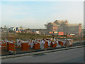
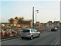
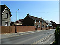
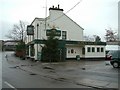
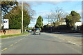
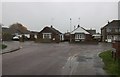
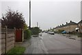
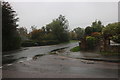
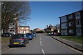
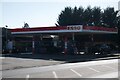
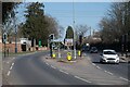
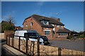
43 photos from this area
Area Information
Key information about the SN4 8FF including its size, population, and administrative classification.
- Area Type
- Postcode
- Area Size
- 2.4 hectares
- Population
- 1945
- Population Density
- 5051 people/km²
House Prices in SN4 8FF
64
Properties
£253,391
Average Sold Price
£90,000
Lowest Price
£415,000
Highest Price
Showing 64 properties
| Address | Type | Beds | Baths | Last Sale Price | Last Sale Date | |
|---|---|---|---|---|---|---|
| 5 Blain Place, Royal Wootton Bassett, SN4 8FF | Semi-detached | 4 | 1 | £365,000 | Jul 2025 | |
| 71 Blain Place, Royal Wootton Bassett, SN4 8FF | Detached | 2 | 1 | £185,000 | Jan 2024 | |
| 21 Blain Place, Royal Wootton Bassett, SN4 8FF | Semi-detached | 2 | 1 | £190,000 | Aug 2023 | |
| 75 Blain Place, Royal Wootton Bassett, SN4 8FF | Detached | 4 | 2 | £360,000 | Jan 2023 | |
| 35 Blain Place, Royal Wootton Bassett, SN4 8FF | Detached | 4 | 2 | £340,000 | Sep 2022 | |
| 61 Blain Place, Royal Wootton Bassett, SN4 8FF | Retail | 5 | 2 | £415,000 | Jun 2022 | |
| 1 Blain Place, Royal Wootton Bassett, SN4 8FF | Retail | 2 | 1 | £337,000 | Mar 2022 | |
| 55 Blain Place, Royal Wootton Bassett, SN4 8FF | house | - | - | £90,000 | Sep 2021 | |
| 67 Blain Place, Royal Wootton Bassett, SN4 8FF | Detached | 3 | 2 | £260,000 | Jul 2021 | |
| 69 Blain Place, Royal Wootton Bassett, SN4 8FF | house | - | - | £245,000 | Apr 2021 |
Page 1 of 7
Energy Efficiency in SN4 8FF
Amenities
Schools
| Rank | School | Type | Entry gender | Ages |
|---|
Explore more schools in this area
Go to Schools tabDemographics
Household Size
Two person
most common
Accommodation Type
Houses
most common
Tenure
77
majority
Ethnic Group
White
most common
Religion
N/A
most common
Household Composition
N/A
most common
Age
47
median
Adults (30-64 years)
most common
Household Deprivation
N/A
with no deprivation
NS-SEC
33
in Lower managerial occupations
Explore more demographic insights in this area
Go to Demographics tabPlanning
Planning Constraints
- Flood RiskPremium
- Ramsar Wetland SitesPremium
- Area of Outstanding Natural BeautyPremium
- Protected Nature ReservePremium
- Protected WoodlandPremium