Area Overview for SN4 7BD
Photos of SN4 7BD


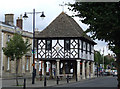
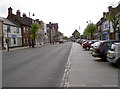

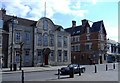
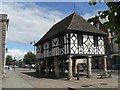
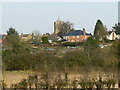
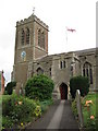
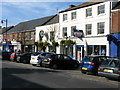
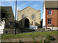
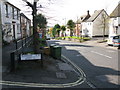
100 photos from this area
Area Information
Key information about the SN4 7BD including its size, population, and administrative classification.
- Area Type
- Postcode
- Area Size
- 3.4 hectares
- Population
- 2202
- Population Density
- 3096 people/km²
House Prices in SN4 7BD
46
Properties
£228,341
Average Sold Price
£53,000
Lowest Price
£699,950
Highest Price
Showing 46 properties
| Address | Type | Beds | Baths | Last Sale Price | Last Sale Date | |
|---|---|---|---|---|---|---|
| 36 Wood Street, Royal Wootton Bassett, SN4 7BD | Cottage | 2 | 1 | £193,000 | Jun 2025 | |
| 42 Wood Street, Royal Wootton Bassett, SN4 7BD | Terraced | 2 | 2 | £230,000 | Feb 2025 | |
| 34 Wood Street, Royal Wootton Bassett, SN4 7BD | Terraced | 1 | 1 | £208,500 | Oct 2024 | |
| 41 Wood Street, Royal Wootton Bassett, SN4 7BD | house | 2 | 1 | £217,500 | Aug 2024 | |
| 43 Wood Street, Royal Wootton Bassett, SN4 7BD | Terraced | 1 | 1 | £200,000 | Jun 2024 | |
| 57 Wood Street, Royal Wootton Bassett, SN4 7BD | Semi-detached | 2 | 1 | £262,500 | Mar 2024 | |
| 24 Wood Street, Royal Wootton Bassett, SN4 7BD | Semi-detached | 3 | 1 | £250,000 | Mar 2024 | |
| 27 Wood Street, Royal Wootton Bassett, SN4 7BD | Semi-detached | 3 | 1 | £207,500 | Nov 2023 | |
| 15 Wood Street, Royal Wootton Bassett, SN4 7BD | Terraced | 2 | 1 | £275,000 | Feb 2023 | |
| 50 Wood Street, Royal Wootton Bassett, SN4 7BD | Terraced | 3 | 1 | £255,000 | Dec 2021 |
Page 1 of 5
Energy Efficiency in SN4 7BD
Amenities
Schools
| Rank | School | Type | Entry gender | Ages |
|---|
Explore more schools in this area
Go to Schools tabDemographics
Household Size
One person
most common
Accommodation Type
Houses
most common
Tenure
60
majority
Ethnic Group
White
most common
Religion
N/A
most common
Household Composition
N/A
most common
Age
47
median
Adults (30-64 years)
most common
Household Deprivation
N/A
with no deprivation
NS-SEC
35
in Lower managerial occupations
Explore more demographic insights in this area
Go to Demographics tabPlanning
Planning Constraints
- Flood RiskPremium
- Ramsar Wetland SitesPremium
- Area of Outstanding Natural BeautyPremium
- Protected Nature ReservePremium
- Protected WoodlandPremium