Area Overview for SN2 7SY
Photos of SN2 7SY
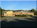
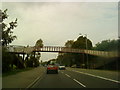
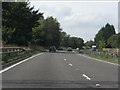
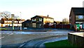
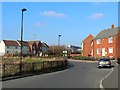
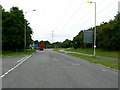
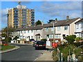
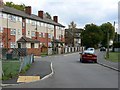
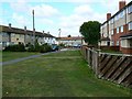
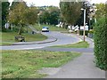
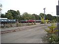
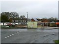
39 photos from this area
Area Information
Key information about the SN2 7SY including its size, population, and administrative classification.
- Area Type
- Postcode
- Area Size
- 1.1 hectares
- Population
- 1477
- Population Density
- 3721 people/km²
House Prices in SN2 7SY
30
Properties
£197,059
Average Sold Price
£72,500
Lowest Price
£389,950
Highest Price
Showing 30 properties
| Address | Type | Beds | Baths | Last Sale Price | Last Sale Date | |
|---|---|---|---|---|---|---|
| 38 Queensfield, Swindon, SN2 7SY | Bungalow | 3 | 2 | £339,000 | Feb 2025 | |
| 84 Queensfield, Swindon, SN2 7SY | Bungalow | 3 | 1 | £327,500 | Oct 2024 | |
| 76 Queensfield, Swindon, SN2 7SY | Bungalow | 2 | - | £290,000 | Feb 2023 | |
| 88 Queensfield, Swindon, SN2 7SY | Bungalow | - | - | £230,000 | Sep 2021 | |
| 70 Queensfield, Swindon, SN2 7SY | Bungalow | - | - | £210,000 | Aug 2021 | |
| 52 Queensfield, Swindon, SN2 7SY | Bungalow | - | - | £230,000 | Jan 2021 | |
| 62 Queensfield, Swindon, SN2 7SY | Semi-detached | 3 | 2 | £265,950 | Nov 2019 | |
| 48 Queensfield, Swindon, SN2 7SY | Semi-detached | 3 | 2 | £230,000 | Dec 2017 | |
| 82 Queensfield, Swindon, SN2 7SY | Bungalow | - | - | £389,950 | May 2016 | |
| 60 Queensfield, Swindon, SN2 7SY | Bungalow | - | - | £230,000 | Mar 2016 |
Page 1 of 3
Energy Efficiency in SN2 7SY
Amenities
Schools
| Rank | School | Type | Entry gender | Ages |
|---|
Explore more schools in this area
Go to Schools tabDemographics
Household Size
Two person
most common
Accommodation Type
Houses
most common
Tenure
69
majority
Ethnic Group
White
most common
Religion
N/A
most common
Household Composition
N/A
most common
Age
47
median
Adults (30-64 years)
most common
Household Deprivation
N/A
with no deprivation
NS-SEC
24
in Lower managerial occupations
Explore more demographic insights in this area
Go to Demographics tabPlanning
Planning Constraints
- Flood RiskPremium
- Ramsar Wetland SitesPremium
- Area of Outstanding Natural BeautyPremium
- Protected Nature ReservePremium
- Protected WoodlandPremium