Area Overview for SN2 7LQ
Photos of SN2 7LQ


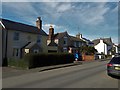
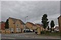
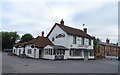
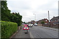
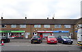

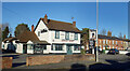
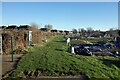
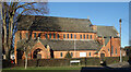
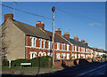
45 photos from this area
Area Information
Key information about the SN2 7LQ including its size, population, and administrative classification.
- Area Type
- Postcode
- Area Size
- 8590 m²
- Population
- 1484
- Population Density
- 4466 people/km²
House Prices in SN2 7LQ
18
Properties
£208,625
Average Sold Price
£64,000
Lowest Price
£407,000
Highest Price
Showing 18 properties
| Address | Type | Beds | Baths | Last Sale Price | Last Sale Date | |
|---|---|---|---|---|---|---|
| 16 Dockle Way, Stratton St Margaret, Swindon, SN2 7LQ | Semi-detached | 3 | 1 | £315,000 | Jun 2024 | |
| 15 Dockle Way, Stratton St Margaret, Swindon, SN2 7LQ | Retail | 3 | 1 | £311,000 | Jun 2022 | |
| 20 Dockle Way, Stratton St Margaret, Swindon, SN2 7LQ | house | - | - | £407,000 | Mar 2022 | |
| 11 Dockle Way, Stratton St Margaret, Swindon, SN2 7LQ | house | - | - | £240,000 | Aug 2020 | |
| 14 Dockle Way, Stratton St Margaret, Swindon, SN2 7LQ | Semi-detached | 3 | 1 | £205,000 | Jun 2019 | |
| 2 Dockle Way, Stratton St Margaret, Swindon, SN2 7LQ | Semi-detached | 1 | 3 | £246,500 | Oct 2017 | |
| 3 Dockle Way, Stratton St Margaret, Swindon, SN2 7LQ | house | 4 | - | £190,000 | Jul 2012 | |
| 1 Dockle Way, Stratton St Margaret, Swindon, SN2 7LQ | Semi-detached | - | - | £148,000 | Oct 2003 | |
| Casa Nostra, 13 Dockle Way, Stratton St Margaret, Swindon, SN2 7LQ | Semi-detached | - | - | £150,000 | Sep 2003 | |
| 9 Dockle Way, Stratton St Margaret, Swindon, SN2 7LQ | Terraced | - | - | £134,000 | May 2002 |
Page 1 of 2
Energy Efficiency in SN2 7LQ
Amenities
Schools
| Rank | School | Type | Entry gender | Ages |
|---|
Explore more schools in this area
Go to Schools tabDemographics
Household Size
Two person
most common
Accommodation Type
Houses
most common
Tenure
77
majority
Ethnic Group
White
most common
Religion
N/A
most common
Household Composition
N/A
most common
Age
47
median
Adults (30-64 years)
most common
Household Deprivation
N/A
with no deprivation
NS-SEC
29
in Lower managerial occupations
Explore more demographic insights in this area
Go to Demographics tabPlanning
Planning Constraints
- Flood RiskPremium
- Ramsar Wetland SitesPremium
- Area of Outstanding Natural BeautyPremium
- Protected Nature ReservePremium
- Protected WoodlandPremium