Area Overview for SN2 7HS
Photos of SN2 7HS
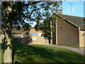

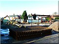

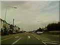
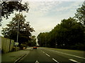
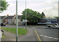
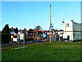
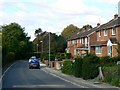
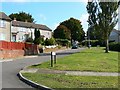
72 photos from this area
Area Information
Key information about the SN2 7HS including its size, population, and administrative classification.
- Area Type
- Postcode
- Area Size
- 2.9 hectares
- Population
- 2097
- Population Density
- 5256 people/km²
House Prices in SN2 7HS
35
Properties
£193,520
Average Sold Price
£77,000
Lowest Price
£360,000
Highest Price
Showing 35 properties
| Address | Type | Beds | Baths | Last Sale Price | Last Sale Date | |
|---|---|---|---|---|---|---|
| 63 Headlands Grove, Stratton St Margaret, Swindon, SN2 7HS | Terraced | 2 | 1 | £228,000 | Jul 2023 | |
| 51 Headlands Grove, Stratton St Margaret, Swindon, SN2 7HS | Terraced | 3 | 3 | £250,000 | Nov 2021 | |
| 61 Headlands Grove, Stratton St Margaret, Swindon, SN2 7HS | Terraced | 3 | 1 | £236,000 | Jun 2021 | |
| 59 Headlands Grove, Stratton St Margaret, Swindon, SN2 7HS | Flat | - | - | £161,000 | May 2021 | |
| 65 Headlands Grove, Stratton St Margaret, Swindon, SN2 7HS | house | - | - | £240,000 | Jan 2021 | |
| 55 Headlands Grove, Stratton St Margaret, Swindon, SN2 7HS | house | 3 | 1 | £194,000 | Jan 2021 | |
| 1 Headlands Grove, Stratton St Margaret, Swindon, SN2 7HS | Detached | 4 | 2 | £360,000 | Aug 2019 | |
| 41 Headlands Grove, Stratton St Margaret, Swindon, SN2 7HS | Semi-detached | 3 | 1 | £207,000 | Jul 2019 | |
| 27 Headlands Grove, Stratton St Margaret, Swindon, SN2 7HS | Semi-detached | 3 | 1 | £225,000 | Apr 2018 | |
| 9 Headlands Grove, Stratton St Margaret, Swindon, SN2 7HS | Semi-detached | 3 | 2 | £260,000 | Mar 2017 |
Page 1 of 4
Energy Efficiency in SN2 7HS
Amenities
Schools
| Rank | School | Type | Entry gender | Ages |
|---|
Explore more schools in this area
Go to Schools tabDemographics
Household Size
Family (3-5 people)
most common
Accommodation Type
Houses
most common
Tenure
83
majority
Ethnic Group
White
most common
Religion
N/A
most common
Household Composition
N/A
most common
Age
47
median
Adults (30-64 years)
most common
Household Deprivation
N/A
with no deprivation
NS-SEC
33
in Lower managerial occupations
Explore more demographic insights in this area
Go to Demographics tabPlanning
Planning Constraints
- Flood RiskPremium
- Ramsar Wetland SitesPremium
- Area of Outstanding Natural BeautyPremium
- Protected Nature ReservePremium
- Protected WoodlandPremium