Area Overview for SN2 7AS
Photos of SN2 7AS
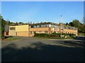
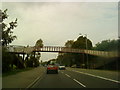
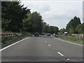
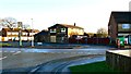
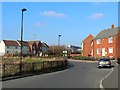
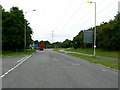
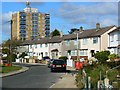
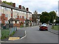
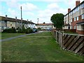
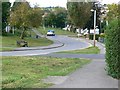
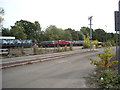
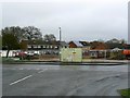
39 photos from this area
Area Information
Key information about the SN2 7AS including its size, population, and administrative classification.
- Area Type
- Postcode
- Area Size
- 5.0 hectares
- Population
- 1477
- Population Density
- 3721 people/km²
House Prices in SN2 7AS
14
Properties
£266,250
Average Sold Price
£120,000
Lowest Price
£400,000
Highest Price
Showing 14 properties
| Address | Type | Beds | Baths | Last Sale Price | Last Sale Date | |
|---|---|---|---|---|---|---|
| 566 Cricklade Road, Swindon, SN2 7AS | Bungalow | - | - | £400,000 | Mar 2023 | |
| 576 Cricklade Road, Swindon, SN2 7AS | Detached | 4 | 2 | £295,000 | Mar 2017 | |
| 586 Cricklade Road, Swindon, SN2 7AS | Detached | 3 | - | £250,000 | Nov 2007 | |
| 580 Cricklade Road, Swindon, SN2 7AS | Detached | - | - | £120,000 | Jul 2001 | |
| Caretakers House, St Lukes School, Cricklade Road, Swindon, SN2 7AS | commercial | - | - | - | - | |
| Penhill Express Locker, Cricklade Road Service Station, Cricklade Road, Swindon, SN2 7AS | Retail | - | - | - | - | |
| Community Homes Of Intensive Care And Education Limited, Argyll House, 578 Cricklade Road, Swindon, SN2 7AS | Retirement | - | - | - | - | |
| 582 Cricklade Road, Swindon, SN2 7AS | Detached | - | - | - | - | |
| 584 Cricklade Road, Swindon, SN2 7AS | Detached | - | - | - | - | |
| Stratton Junior Football Club, Penaly Spot, St Lukes School, Cricklade Road, Swindon, SN2 7AS | Leisure | - | - | - | - |
Page 1 of 2
Energy Efficiency in SN2 7AS
Amenities
Schools
| Rank | School | Type | Entry gender | Ages |
|---|
Explore more schools in this area
Go to Schools tabDemographics
Household Size
Two person
most common
Accommodation Type
Houses
most common
Tenure
69
majority
Ethnic Group
White
most common
Religion
N/A
most common
Household Composition
N/A
most common
Age
47
median
Adults (30-64 years)
most common
Household Deprivation
N/A
with no deprivation
NS-SEC
24
in Lower managerial occupations
Explore more demographic insights in this area
Go to Demographics tabPlanning
Planning Constraints
- Flood RiskPremium
- Ramsar Wetland SitesPremium
- Area of Outstanding Natural BeautyPremium
- Protected Nature ReservePremium
- Protected WoodlandPremium