Area Overview for SN2 5EA
Photos of SN2 5EA
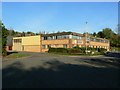
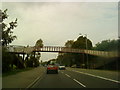
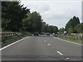
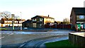
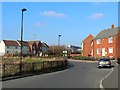
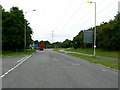
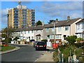
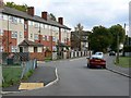
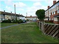
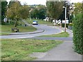
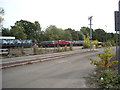
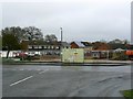
39 photos from this area
Area Information
Key information about the SN2 5EA including its size, population, and administrative classification.
- Area Type
- Postcode
- Area Size
- 1.5 hectares
- Population
- 1766
- Population Density
- 6236 people/km²
House Prices in SN2 5EA
49
Properties
£116,647
Average Sold Price
£48,500
Lowest Price
£177,500
Highest Price
Showing 49 properties
| Address | Type | Beds | Baths | Last Sale Price | Last Sale Date | |
|---|---|---|---|---|---|---|
| 63 Corsham Road, Penhill, Swindon, SN2 5EA | house | - | - | £175,000 | Jun 2025 | |
| 65 Corsham Road, Penhill, Swindon, SN2 5EA | Terraced | 3 | 1 | £165,000 | May 2021 | |
| 93 Corsham Road, Penhill, Swindon, SN2 5EA | house | - | - | £115,000 | Mar 2021 | |
| 87 Corsham Road, Penhill, Swindon, SN2 5EA | Terraced | 2 | 1 | £125,000 | Dec 2019 | |
| 55 Corsham Road, Penhill, Swindon, SN2 5EA | Terraced | 3 | 2 | £177,500 | Nov 2019 | |
| 59 Corsham Road, Penhill, Swindon, SN2 5EA | house | - | - | £158,000 | Aug 2017 | |
| 75 Corsham Road, Penhill, Swindon, SN2 5EA | Terraced | 3 | 1 | £113,000 | Nov 2014 | |
| 43 Corsham Road, Penhill, Swindon, SN2 5EA | Terraced | 3 | - | £133,000 | Oct 2014 | |
| 8 Corsham Road, Penhill, Swindon, SN2 5EA | Terraced | 3 | 1 | £118,000 | Aug 2014 | |
| 47 Corsham Road, Penhill, Swindon, SN2 5EA | Terraced | 3 | - | £116,000 | Feb 2014 |
Page 1 of 5
Energy Efficiency in SN2 5EA
Amenities
Schools
| Rank | School | Type | Entry gender | Ages |
|---|
Explore more schools in this area
Go to Schools tabDemographics
Household Size
Family (3-5 people)
most common
Accommodation Type
Houses
most common
Tenure
32
majority
Ethnic Group
White
most common
Religion
N/A
most common
Household Composition
N/A
most common
Age
47
median
Adults (30-64 years)
most common
Household Deprivation
N/A
with no deprivation
NS-SEC
13
in Lower managerial occupations
Explore more demographic insights in this area
Go to Demographics tabPlanning
Planning Constraints
- Flood RiskPremium
- Ramsar Wetland SitesPremium
- Area of Outstanding Natural BeautyPremium
- Protected Nature ReservePremium
- Protected WoodlandPremium