Area Overview for SN2 2PE
Photos of SN2 2PE
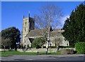
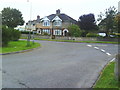
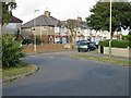
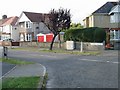
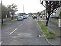

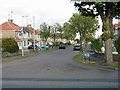
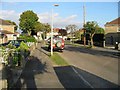

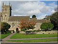
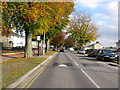
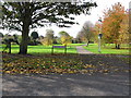
60 photos from this area
Area Information
Key information about the SN2 2PE including its size, population, and administrative classification.
- Area Type
- Postcode
- Area Size
- 2.2 hectares
- Population
- 1619
- Population Density
- 4590 people/km²
House Prices in SN2 2PE
71
Properties
£147,329
Average Sold Price
£30,000
Lowest Price
£325,000
Highest Price
Showing 71 properties
| Address | Type | Beds | Baths | Last Sale Price | Last Sale Date | |
|---|---|---|---|---|---|---|
| 267 Cheney Manor Road, Swindon, SN2 2PE | Terraced | 3 | 1 | £270,000 | Oct 2025 | |
| 301 Cheney Manor Road, Swindon, SN2 2PE | Terraced | 2 | 1 | £186,000 | Aug 2025 | |
| 317 Cheney Manor Road, Swindon, SN2 2PE | Terraced | 2 | 1 | £140,000 | May 2025 | |
| 339 Cheney Manor Road, Swindon, SN2 2PE | Terraced | 2 | 1 | £193,500 | Jan 2025 | |
| 229 Cheney Manor Road, Swindon, SN2 2PE | Semi-detached | 3 | 2 | £270,000 | Oct 2024 | |
| 315 Cheney Manor Road, Swindon, SN2 2PE | Terraced | 2 | 1 | £195,000 | Feb 2024 | |
| 289 Cheney Manor Road, Swindon, SN2 2PE | Terraced | 2 | 1 | £167,000 | May 2022 | |
| 259 Cheney Manor Road, Swindon, SN2 2PE | house | - | - | £165,000 | Feb 2022 | |
| 279 Cheney Manor Road, Swindon, SN2 2PE | Terraced | 1 | 1 | £190,000 | Sep 2021 | |
| 227 Cheney Manor Road, Swindon, SN2 2PE | Terraced | 2 | 1 | £255,000 | Jul 2021 |
Page 1 of 8
Energy Efficiency in SN2 2PE
Amenities
Schools
| Rank | School | Type | Entry gender | Ages |
|---|
Explore more schools in this area
Go to Schools tabDemographics
Household Size
Two person
most common
Accommodation Type
Houses
most common
Tenure
72
majority
Ethnic Group
White
most common
Religion
N/A
most common
Household Composition
N/A
most common
Age
47
median
Adults (30-64 years)
most common
Household Deprivation
N/A
with no deprivation
NS-SEC
22
in Lower managerial occupations
Explore more demographic insights in this area
Go to Demographics tabPlanning
Planning Constraints
- Flood RiskPremium
- Ramsar Wetland SitesPremium
- Area of Outstanding Natural BeautyPremium
- Protected Nature ReservePremium
- Protected WoodlandPremium