Area Overview for SN2 2NZ
Photos of SN2 2NZ
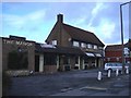
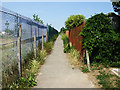
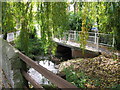
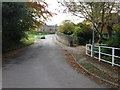
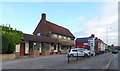
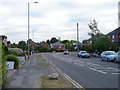
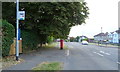
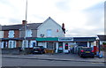
43 photos from this area
Area Information
Key information about the SN2 2NZ including its size, population, and administrative classification.
- Area Type
- Postcode
- Area Size
- 1.6 hectares
- Population
- 1630
- Population Density
- 731 people/km²
House Prices in SN2 2NZ
27
Properties
£229,386
Average Sold Price
£59,950
Lowest Price
£485,000
Highest Price
Showing 27 properties
| Address | Type | Beds | Baths | Last Sale Price | Last Sale Date | |
|---|---|---|---|---|---|---|
| 218 Cheney Manor Road, Swindon, SN2 2NZ | Bungalow | - | - | £485,000 | Mar 2024 | |
| 208 Cheney Manor Road, Swindon, SN2 2NZ | house | - | - | £435,000 | Dec 2021 | |
| 192 Cheney Manor Road, Swindon, SN2 2NZ | house | - | - | £280,000 | Nov 2021 | |
| 232 Cheney Manor Road, Swindon, SN2 2NZ | house | - | - | £206,000 | May 2021 | |
| 4, Silto Court, Cheney Manor Road, Swindon, SN2 2NZ | Bungalow | 3 | 2 | £415,000 | Mar 2019 | |
| 188 Cheney Manor Road, Swindon, SN2 2NZ | Detached | 3 | 2 | £340,000 | Sep 2016 | |
| 204 Cheney Manor Road, Swindon, SN2 2NZ | Detached | 3 | - | £260,000 | Apr 2015 | |
| 212 Cheney Manor Road, Swindon, SN2 2NZ | house | - | - | £145,000 | Dec 2011 | |
| 210 Cheney Manor Road, Swindon, SN2 2NZ | Semi-detached | - | - | £150,000 | Jun 2002 | |
| 3, Silto Court, Cheney Manor Road, Swindon, SN2 2NZ | Detached | - | - | £139,950 | Oct 1999 |
Page 1 of 3
Energy Efficiency in SN2 2NZ
Amenities
Schools
| Rank | School | Type | Entry gender | Ages |
|---|
Explore more schools in this area
Go to Schools tabDemographics
Household Size
Family (3-5 people)
most common
Accommodation Type
Houses
most common
Tenure
84
majority
Ethnic Group
White
most common
Religion
N/A
most common
Household Composition
N/A
most common
Age
47
median
Adults (30-64 years)
most common
Household Deprivation
N/A
with no deprivation
NS-SEC
32
in Lower managerial occupations
Explore more demographic insights in this area
Go to Demographics tabPlanning
Planning Constraints
- Flood RiskPremium
- Ramsar Wetland SitesPremium
- Area of Outstanding Natural BeautyPremium
- Protected Nature ReservePremium
- Protected WoodlandPremium