Area Overview for SN2 2HB
Photos of SN2 2HB
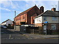


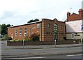
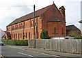
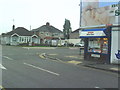
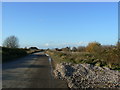
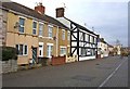
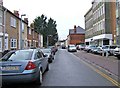
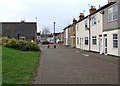
100 photos from this area
Area Information
Key information about the SN2 2HB including its size, population, and administrative classification.
- Area Type
- Postcode
- Area Size
- 5344 m²
- Population
- 1583
- Population Density
- 5621 people/km²
House Prices in SN2 2HB
31
Properties
£138,171
Average Sold Price
£41,000
Lowest Price
£250,000
Highest Price
Showing 31 properties
| Address | Type | Beds | Baths | Last Sale Price | Last Sale Date | |
|---|---|---|---|---|---|---|
| 66 Summers Street, Rodbourne, Swindon, SN2 2HB | Terraced | 3 | 2 | £190,000 | Sep 2024 | |
| 44 Summers Street, Rodbourne, Swindon, SN2 2HB | Terraced | 3 | 1 | £228,000 | Jun 2022 | |
| 43 Summers Street, Rodbourne, Swindon, SN2 2HB | house | - | - | £250,000 | Jun 2022 | |
| 48 Summers Street, Rodbourne, Swindon, SN2 2HB | Terraced | 3 | 1 | £210,000 | Oct 2021 | |
| 52 Summers Street, Rodbourne, Swindon, SN2 2HB | Terraced | 3 | 1 | £195,000 | Sep 2021 | |
| 58 Summers Street, Rodbourne, Swindon, SN2 2HB | Terraced | 3 | 2 | £225,000 | Oct 2018 | |
| 61 Summers Street, Rodbourne, Swindon, SN2 2HB | house | - | - | £186,500 | Apr 2018 | |
| 67 Summers Street, Rodbourne, Swindon, SN2 2HB | Terraced | 2 | 1 | £190,000 | Apr 2018 | |
| 49 Summers Street, Rodbourne, Swindon, SN2 2HB | Terraced | 3 | 1 | £198,000 | Sep 2017 | |
| 59 Summers Street, Rodbourne, Swindon, SN2 2HB | house | - | - | £133,950 | May 2015 |
Page 1 of 4
Energy Efficiency in SN2 2HB
Amenities
Schools
| Rank | School | Type | Entry gender | Ages |
|---|
Explore more schools in this area
Go to Schools tabDemographics
Household Size
Family (3-5 people)
most common
Accommodation Type
Houses
most common
Tenure
61
majority
Ethnic Group
White
most common
Religion
N/A
most common
Household Composition
N/A
most common
Age
47
median
Adults (30-64 years)
most common
Household Deprivation
N/A
with no deprivation
NS-SEC
25
in Lower managerial occupations
Explore more demographic insights in this area
Go to Demographics tabPlanning
Planning Constraints
- Flood RiskPremium
- Ramsar Wetland SitesPremium
- Area of Outstanding Natural BeautyPremium
- Protected Nature ReservePremium
- Protected WoodlandPremium