Area Overview for SN2 1RQ
Photos of SN2 1RQ
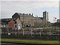
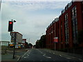
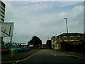
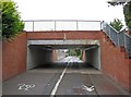
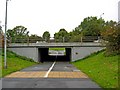
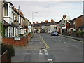
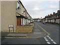
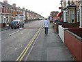
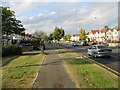
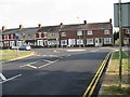
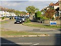
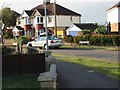
100 photos from this area
Area Information
Key information about the SN2 1RQ including its size, population, and administrative classification.
- Area Type
- Postcode
- Area Size
- 7206 m²
- Population
- 1857
- Population Density
- 8975 people/km²
House Prices in SN2 1RQ
39
Properties
£151,706
Average Sold Price
£44,250
Lowest Price
£263,500
Highest Price
Showing 39 properties
| Address | Type | Beds | Baths | Last Sale Price | Last Sale Date | |
|---|---|---|---|---|---|---|
| 24 St Marys Grove, Gorse Hill, Swindon, SN2 1RQ | Semi-detached | 3 | 1 | £255,000 | Apr 2024 | |
| 16 St Marys Grove, Gorse Hill, Swindon, SN2 1RQ | Semi-detached | 3 | 2 | £210,000 | Nov 2023 | |
| 36 St Marys Grove, Gorse Hill, Swindon, SN2 1RQ | Terraced | 2 | 1 | £200,000 | May 2023 | |
| 66 St Marys Grove, Gorse Hill, Swindon, SN2 1RQ | Terraced | 2 | 1 | £263,500 | Jan 2023 | |
| 44 St Marys Grove, Gorse Hill, Swindon, SN2 1RQ | house | - | - | £184,000 | Feb 2022 | |
| 34 St Marys Grove, Gorse Hill, Swindon, SN2 1RQ | house | 2 | 1 | £172,000 | Apr 2021 | |
| 46 St Marys Grove, Gorse Hill, Swindon, SN2 1RQ | Terraced | 3 | 1 | £177,000 | Aug 2019 | |
| 2 St Marys Grove, Gorse Hill, Swindon, SN2 1RQ | Semi-detached | 3 | 1 | £174,500 | Jul 2019 | |
| 20 St Marys Grove, Gorse Hill, Swindon, SN2 1RQ | Semi-detached | 3 | 2 | £194,000 | Nov 2018 | |
| 6 St Marys Grove, Gorse Hill, Swindon, SN2 1RQ | Semi-detached | 3 | 2 | £218,000 | Sep 2018 |
Page 1 of 4
Energy Efficiency in SN2 1RQ
Amenities
Schools
| Rank | School | Type | Entry gender | Ages |
|---|
Explore more schools in this area
Go to Schools tabDemographics
Household Size
Family (3-5 people)
most common
Accommodation Type
Houses
most common
Tenure
65
majority
Ethnic Group
White
most common
Religion
N/A
most common
Household Composition
N/A
most common
Age
47
median
Adults (30-64 years)
most common
Household Deprivation
N/A
with no deprivation
NS-SEC
20
in Lower managerial occupations
Explore more demographic insights in this area
Go to Demographics tabPlanning
Planning Constraints
- Flood RiskPremium
- Ramsar Wetland SitesPremium
- Area of Outstanding Natural BeautyPremium
- Protected Nature ReservePremium
- Protected WoodlandPremium