Area Overview for SN2 1HL
Photos of SN2 1HL
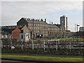
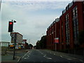
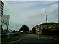
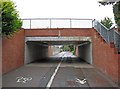
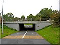
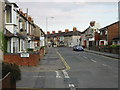
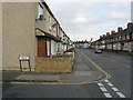
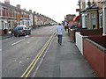
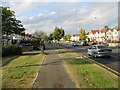
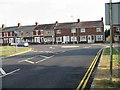
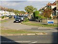
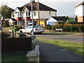
100 photos from this area
Area Information
Key information about the SN2 1HL including its size, population, and administrative classification.
- Area Type
- Postcode
- Area Size
- 1.9 hectares
- Population
- 2169
- Population Density
- 4579 people/km²
House Prices in SN2 1HL
38
Properties
£182,489
Average Sold Price
£58,500
Lowest Price
£310,000
Highest Price
Showing 38 properties
| Address | Type | Beds | Baths | Last Sale Price | Last Sale Date | |
|---|---|---|---|---|---|---|
| 340 Ferndale Road, Swindon, SN2 1HL | Terraced | 3 | 1 | £280,000 | Nov 2025 | |
| 326 Ferndale Road, Swindon, SN2 1HL | Terraced | 3 | 1 | £242,500 | Aug 2025 | |
| 350 Ferndale Road, Swindon, SN2 1HL | Terraced | 3 | - | £190,000 | Aug 2024 | |
| 352 Ferndale Road, Swindon, SN2 1HL | Terraced | 3 | 2 | £207,000 | Feb 2024 | |
| 354 Ferndale Road, Swindon, SN2 1HL | Retail | 3 | 1 | £310,000 | Dec 2022 | |
| 318 Ferndale Road, Swindon, SN2 1HL | Terraced | 3 | 1 | £252,000 | Jan 2022 | |
| 338 Ferndale Road, Swindon, SN2 1HL | house | - | - | £275,000 | Jan 2022 | |
| 316 Ferndale Road, Swindon, SN2 1HL | house | 3 | - | £198,000 | May 2021 | |
| 312 Ferndale Road, Swindon, SN2 1HL | Terraced | 3 | 1 | £195,000 | Jun 2020 | |
| 288 Ferndale Road, Swindon, SN2 1HL | Terraced | 3 | 2 | £193,500 | Nov 2018 |
Page 1 of 4
Energy Efficiency in SN2 1HL
Amenities
Schools
| Rank | School | Type | Entry gender | Ages |
|---|
Explore more schools in this area
Go to Schools tabDemographics
Household Size
Family (3-5 people)
most common
Accommodation Type
Houses
most common
Tenure
65
majority
Ethnic Group
White
most common
Religion
N/A
most common
Household Composition
N/A
most common
Age
47
median
Adults (30-64 years)
most common
Household Deprivation
N/A
with no deprivation
NS-SEC
31
in Lower managerial occupations
Explore more demographic insights in this area
Go to Demographics tabPlanning
Planning Constraints
- Flood RiskPremium
- Ramsar Wetland SitesPremium
- Area of Outstanding Natural BeautyPremium
- Protected Nature ReservePremium
- Protected WoodlandPremium