Area Overview for SN16 9QU
Photos of SN16 9QU
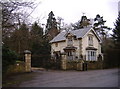
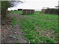
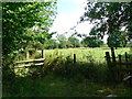
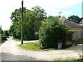
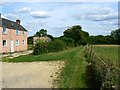
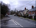
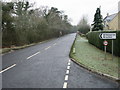
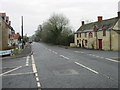
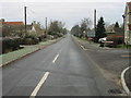
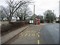
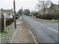
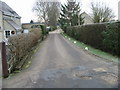
45 photos from this area
Area Information
Key information about the SN16 9QU including its size, population, and administrative classification.
- Area Type
- Postcode
- Area Size
- 6.1 hectares
- Population
- 1421
- Population Density
- 81 people/km²
House Prices in SN16 9QU
47
Properties
£395,687
Average Sold Price
£55,000
Lowest Price
£850,000
Highest Price
Showing 47 properties
| Address | Type | Beds | Baths | Last Sale Price | Last Sale Date | |
|---|---|---|---|---|---|---|
| 1, Beaumore House, Silver Street, Minety, SN16 9QU | Semi-detached | 3 | 1 | £385,000 | Jan 2025 | |
| Kavanagh House, Silver Street, Minety, SN16 9QU | house | - | - | £850,000 | Sep 2024 | |
| Toad Hall, Silver Street, Minety, SN16 9QU | Detached | 4 | 2 | £590,000 | Jun 2024 | |
| Long Cottage, Silver Street, Minety, SN16 9QU | Retail | 3 | 1 | £470,000 | Sep 2022 | |
| The Old Bakehouse, Silver Street, Minety, SN16 9QU | Detached | 4 | 2 | £700,000 | May 2022 | |
| Rylands, Silver Street, Minety, SN16 9QU | house | 4 | 1 | £815,000 | Jan 2022 | |
| Meadowbank, Silver Street, Minety, SN16 9QU | Detached | 4 | 2 | £815,000 | Jun 2021 | |
| Grey Walls, Silver Street, Minety, SN16 9QU | Detached | 3 | 2 | £536,250 | Mar 2021 | |
| The Brambles, Silver Street, Minety, SN16 9QU | Detached | 4 | 2 | £525,000 | Mar 2021 | |
| 2, Manor Cottages, Silver Street, Minety, SN16 9QU | house | 3 | 2 | £450,000 | Sep 2019 |
Page 1 of 5
Energy Efficiency in SN16 9QU
Amenities
Schools
| Rank | School | Type | Entry gender | Ages |
|---|
Explore more schools in this area
Go to Schools tabDemographics
Household Size
Two person
most common
Accommodation Type
Houses
most common
Tenure
86
majority
Ethnic Group
White
most common
Religion
N/A
most common
Household Composition
N/A
most common
Age
47
median
Adults (30-64 years)
most common
Household Deprivation
N/A
with no deprivation
NS-SEC
46
in Lower managerial occupations
Explore more demographic insights in this area
Go to Demographics tabPlanning
Planning Constraints
- Flood RiskPremium
- Ramsar Wetland SitesPremium
- Area of Outstanding Natural BeautyPremium
- Protected Nature ReservePremium
- Protected WoodlandPremium