Area Overview for SN15 4LL
Photos of SN15 4LL
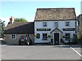
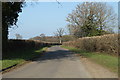
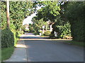
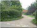
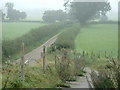
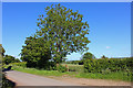
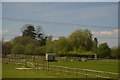

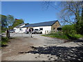
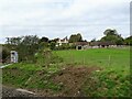
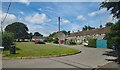

27 photos from this area
Area Information
Key information about the SN15 4LL including its size, population, and administrative classification.
- Area Type
- Postcode
- Area Size
- 87.1 hectares
- Population
- 1500
- Population Density
- 55 people/km²
House Prices in SN15 4LL
18
Properties
£798,500
Average Sold Price
£585,000
Lowest Price
£1,012,000
Highest Price
Showing 18 properties
| Address | Type | Beds | Baths | Last Sale Price | Last Sale Date | |
|---|---|---|---|---|---|---|
| Pemberley, The Common To Sutton Lane, Langley Burrell, SN15 4LL | house | - | - | £585,000 | Jul 2019 | |
| Langley Green House, The Common, Langley Burrell, SN15 4LL | Detached | - | - | £1,012,000 | Aug 2018 | |
| Langley Corner, 54A The Common To Sutton Lane, Langley Burrell, SN15 4LL | Detached | 4 | 2 | - | - | |
| The Bird Cage, Langley Green House, The Common, Langley Burrell, SN15 4LL | Flat | - | - | - | - | |
| Kiln Cottage, Langley Green House, The Common, Langley Burrell, SN15 4LL | Detached | - | - | - | - | |
| Langley Lodge Cottage, The Common To Sutton Lane, Langley Burrell, SN15 4LL | Detached | - | - | - | - | |
| Manor Cottage, 54 The Common To Sutton Lane, Langley Burrell, SN15 4LL | Semi-detached | - | - | - | - | |
| Bramble Cottage, 53 The Common To Sutton Lane, Langley Burrell, SN15 4LL | house | - | - | - | - | |
| Manor Farm, The Common To Sutton Lane, Langley Burrell, SN15 4LL | house | - | - | - | - | |
| Treetops, The Common, Langley Burrell, SN15 4LL | Detached | - | - | - | - |
Page 1 of 2
Energy Efficiency in SN15 4LL
Amenities
Schools
| Rank | School | Type | Entry gender | Ages |
|---|
Explore more schools in this area
Go to Schools tabDemographics
Household Size
Two person
most common
Accommodation Type
Houses
most common
Tenure
79
majority
Ethnic Group
White
most common
Religion
N/A
most common
Household Composition
N/A
most common
Age
47
median
Adults (30-64 years)
most common
Household Deprivation
N/A
with no deprivation
NS-SEC
44
in Lower managerial occupations
Explore more demographic insights in this area
Go to Demographics tabPlanning
Planning Constraints
- Flood RiskPremium
- Ramsar Wetland SitesPremium
- Area of Outstanding Natural BeautyPremium
- Protected Nature ReservePremium