Area Overview for SN15 2PG
Photos of SN15 2PG
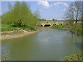
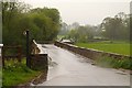
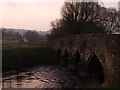
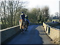
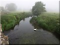
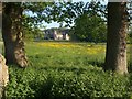
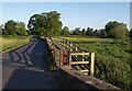
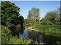
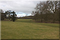
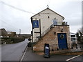
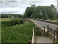
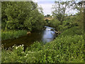
43 photos from this area
Area Information
Key information about the SN15 2PG including its size, population, and administrative classification.
- Area Type
- Postcode
- Area Size
- 29.9 hectares
- Population
- 1338
- Population Density
- 70 people/km²
House Prices in SN15 2PG
21
Properties
£566,792
Average Sold Price
£66,500
Lowest Price
£2,700,000
Highest Price
Showing 21 properties
| Address | Type | Beds | Baths | Last Sale Price | Last Sale Date | |
|---|---|---|---|---|---|---|
| 11 Bewley Lane, Lacock, SN15 2PG | Detached | 3 | 2 | £635,000 | Jul 2025 | |
| 10 Bewley Lane, Lacock, SN15 2PG | Bungalow | - | - | £344,000 | Nov 2017 | |
| 18 Bewley Lane, Lacock, SN15 2PG | house | - | - | £230,000 | Oct 2017 | |
| 14 Bewley Lane, Lacock, SN15 2PG | house | - | - | £265,000 | Aug 2015 | |
| 16 Bewley Lane, Lacock, SN15 2PG | Semi-detached | 3 | - | £234,000 | May 2014 | |
| Dower Cottage, 2 Bewley Lane, Lacock, SN15 2PG | Detached | 3 | 2 | £602,000 | Dec 2011 | |
| 9 Bewley Lane, Lacock, SN15 2PG | Semi-detached | - | - | £270,000 | May 2007 | |
| 13 Bewley Lane, Lacock, SN15 2PG | Terraced | - | - | £250,000 | Feb 2007 | |
| The Barn, Bewley Lane, Lacock, SN15 2PG | Detached | 3 | 2 | £2,700,000 | Aug 2004 | |
| 7 Bewley Lane, Lacock, SN15 2PG | Detached | - | - | £620,000 | Sep 2003 |
Page 1 of 3
Energy Efficiency in SN15 2PG
Amenities
Schools
| Rank | School | Type | Entry gender | Ages |
|---|
Explore more schools in this area
Go to Schools tabDemographics
Household Size
Two person
most common
Accommodation Type
Houses
most common
Tenure
66
majority
Ethnic Group
White
most common
Religion
N/A
most common
Household Composition
N/A
most common
Age
47
median
Adults (30-64 years)
most common
Household Deprivation
N/A
with no deprivation
NS-SEC
41
in Lower managerial occupations
Explore more demographic insights in this area
Go to Demographics tabPlanning
Planning Constraints
- Flood RiskPremium
- Ramsar Wetland SitesPremium
- Area of Outstanding Natural BeautyPremium
- Protected Nature ReservePremium
- Protected WoodlandPremium