Area Overview for SN15 2AX
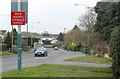
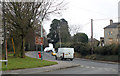
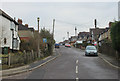
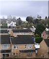
Photos of SN15 2AX
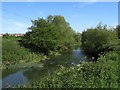
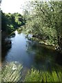
![Unhealthy area? [2] in SN15 2AX](https://images.propbar.co.uk/images/geograph/53/65/5365639_120.jpg)
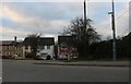

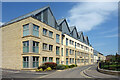
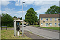

35 photos from this area
Area Information
Key information about the SN15 2AX including its size, population, and administrative classification.
- Area Type
- Postcode
- Area Size
- 1.8 hectares
- Population
- 1535
- Population Density
- 2098 people/km²
House Prices in SN15 2AX
21
Properties
£261,582
Average Sold Price
£59,500
Lowest Price
£625,000
Highest Price
Showing 21 properties
| Address | Type | Beds | Baths | Last Sale Price | Last Sale Date | |
|---|---|---|---|---|---|---|
| 51 Rowden Road, Chippenham, SN15 2AX | Bungalow | 3 | 3 | £485,000 | Dec 2022 | |
| 45 Rowden Road, Chippenham, SN15 2AX | Retail | 4 | 2 | £625,000 | Oct 2022 | |
| 63 Rowden Road, Chippenham, SN15 2AX | Bungalow | - | - | £210,000 | Nov 2019 | |
| 57 Rowden Road, Chippenham, SN15 2AX | Bungalow | 3 | 1 | £272,000 | Aug 2018 | |
| 46 Rowden Road, Chippenham, SN15 2AX | Semi-detached | 3 | 1 | £295,000 | Mar 2018 | |
| 49 Rowden Road, Chippenham, SN15 2AX | Semi-detached | 3 | 1 | £245,000 | Feb 2017 | |
| 65 Rowden Road, Chippenham, SN15 2AX | Bungalow | 3 | - | £320,000 | Jul 2016 | |
| 61 Rowden Road, Chippenham, SN15 2AX | Semi-detached | 2 | - | £205,000 | Nov 2013 | |
| 55 Rowden Road, Chippenham, SN15 2AX | Bungalow | - | - | £230,000 | Jul 2013 | |
| 59 Rowden Road, Chippenham, SN15 2AX | Bungalow | - | - | £174,000 | Mar 2013 |
Page 1 of 3
Energy Efficiency in SN15 2AX
Amenities
Schools
| Rank | School | Type | Entry gender | Ages |
|---|
Explore more schools in this area
Go to Schools tabDemographics
Household Size
Two person
most common
Accommodation Type
Houses
most common
Tenure
81
majority
Ethnic Group
White
most common
Religion
N/A
most common
Household Composition
N/A
most common
Age
47
median
Adults (30-64 years)
most common
Household Deprivation
N/A
with no deprivation
NS-SEC
43
in Lower managerial occupations
Explore more demographic insights in this area
Go to Demographics tabPlanning
Planning Constraints
- Flood RiskPremium
- Ramsar Wetland SitesPremium
- Area of Outstanding Natural BeautyPremium
- Protected Nature ReservePremium
- Protected WoodlandPremium