Area Overview for SN14 8RN
Photos of SN14 8RN
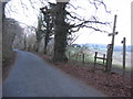

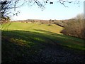
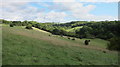
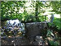
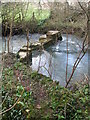
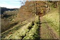
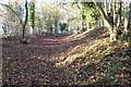
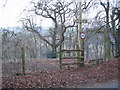
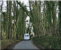
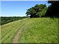
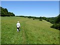
19 photos from this area
Area Information
Key information about the SN14 8RN including its size, population, and administrative classification.
- Area Type
- Postcode
- Area Size
- 20.1 hectares
- Population
- 1313
- Population Density
- 57 people/km²
House Prices in SN14 8RN
7
Properties
£527,200
Average Sold Price
£250,000
Lowest Price
£900,000
Highest Price
Showing 7 properties
| Address | Type | Beds | Baths | Last Sale Price | Last Sale Date | |
|---|---|---|---|---|---|---|
| The Old Post Office, Park Lane, Ford, SN14 8RN | Detached | 3 | 2 | £900,000 | May 2024 | |
| 1 Park Lane, Ford, SN14 8RN | Detached | 5 | - | £326,000 | Oct 2015 | |
| Pear Tree Cottage, Park Lane, Ford, SN14 8RN | house | 3 | - | £250,000 | May 2012 | |
| Church Farm House, Park Lane, Ford, SN14 8RN | Detached | 5 | 3 | £600,000 | Dec 2010 | |
| Meadowcroft, Park Lane, Ford, SN14 8RN | Detached | - | - | £560,000 | May 2004 | |
| Dahl Al Misfir, Park Lane, Ford, SN14 8RN | house | - | - | - | - | |
| 2 Park Lane, Ford, SN14 8RN | Detached | - | - | - | - |
Energy Efficiency in SN14 8RN
Amenities
Schools
| Rank | School | Type | Entry gender | Ages |
|---|
Explore more schools in this area
Go to Schools tabDemographics
Household Size
Two person
most common
Accommodation Type
Houses
most common
Tenure
70
majority
Ethnic Group
White
most common
Religion
N/A
most common
Household Composition
N/A
most common
Age
47
median
Adults (30-64 years)
most common
Household Deprivation
N/A
with no deprivation
NS-SEC
43
in Lower managerial occupations
Explore more demographic insights in this area
Go to Demographics tabPlanning
Planning Constraints
- Flood RiskPremium
- Ramsar Wetland SitesPremium
- Area of Outstanding Natural BeautyPremium
- Protected Nature ReservePremium
- Protected WoodlandPremium