Area Overview for SN14 8JT
Photos of SN14 8JT
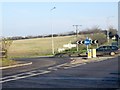
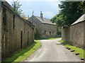
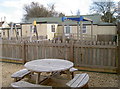
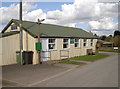
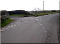
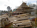
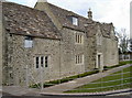
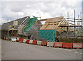

53 photos from this area
Area Information
Key information about the SN14 8JT including its size, population, and administrative classification.
- Area Type
- Postcode
- Area Size
- 25.4 hectares
- Population
- 1605
- Population Density
- 44 people/km²
House Prices in SN14 8JT
27
Properties
£505,464
Average Sold Price
£125,000
Lowest Price
£762,000
Highest Price
Showing 27 properties
| Address | Type | Beds | Baths | Last Sale Price | Last Sale Date | |
|---|---|---|---|---|---|---|
| Parsons Lynch, Hydes Lane, Cold Ashton, SN14 8JT | Semi-detached | 3 | 2 | £745,000 | Mar 2025 | |
| Long View, High Street, Cold Ashton, SN14 8JT | Detached | 3 | 2 | £740,000 | Sep 2023 | |
| Courtyard Barn, High Street, Cold Ashton, SN14 8JT | Semi-detached | 4 | 3 | £762,000 | Apr 2023 | |
| Keystone Cottage, High Street, Cold Ashton, SN14 8JT | Cottage | 4 | 3 | £650,000 | Jan 2019 | |
| Barnfield, Hydes Lane, Cold Ashton, SN14 8JT | house | 4 | 2 | £640,000 | Feb 2017 | |
| Cold Ashton House, High Street, Cold Ashton, SN14 8JT | Semi-detached | 3 | 2 | £575,000 | Feb 2014 | |
| Chestnut Barn, High Street, Cold Ashton, SN14 8JT | house | 4 | - | £590,000 | Aug 2011 | |
| The Arch Barn, High Street, Cold Ashton, SN14 8JT | Semi-detached | 4 | 3 | £700,000 | Jun 2008 | |
| Rose Cottage, High Street, Cold Ashton, SN14 8JT | Semi-detached | - | - | £225,000 | Oct 2006 | |
| Shapland Farm, High Street, Cold Ashton, SN14 8JT | Detached | - | - | £650,000 | Jun 2004 |
Page 1 of 3
Energy Efficiency in SN14 8JT
Amenities
Schools
| Rank | School | Type | Entry gender | Ages |
|---|
Explore more schools in this area
Go to Schools tabDemographics
Household Size
Two person
most common
Accommodation Type
Houses
most common
Tenure
80
majority
Ethnic Group
White
most common
Religion
N/A
most common
Household Composition
N/A
most common
Age
47
median
Adults (30-64 years)
most common
Household Deprivation
N/A
with no deprivation
NS-SEC
40
in Lower managerial occupations
Explore more demographic insights in this area
Go to Demographics tabPlanning
Planning Constraints
- Flood RiskPremium
- Ramsar Wetland SitesPremium
- Area of Outstanding Natural BeautyPremium
- Protected Nature ReservePremium
- Protected WoodlandPremium