Area Overview for SN14 6AQ
Photos of SN14 6AQ
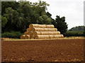
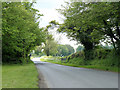
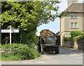
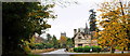
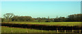

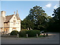


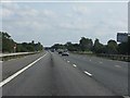
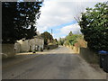
24 photos from this area
Area Information
Key information about the SN14 6AQ including its size, population, and administrative classification.
- Area Type
- Postcode
- Area Size
- 44.3 hectares
- Population
- 1313
- Population Density
- 57 people/km²
House Prices in SN14 6AQ
5
Properties
£270,000
Average Sold Price
£80,000
Lowest Price
£380,000
Highest Price
Showing 5 properties
| Address | Type | Beds | Baths | Last Sale Price | Last Sale Date | |
|---|---|---|---|---|---|---|
| 7, Foscote Cottages, Foscote C 68 South West To Meads And Field Plantation, Grittleton, SN14 6AQ | Terraced | 3 | 2 | £350,000 | Jun 2022 | |
| 5, Foscote Cottages, Foscote C 68 South West To Meads And Field Plantation, Grittleton, SN14 6AQ | house | - | - | £380,000 | Aug 2015 | |
| 6, Foscote Cottages, Foscote C 68 South West To Meads And Field Plantation, Grittleton, SN14 6AQ | house | 2 | 2 | £80,000 | Jan 1995 | |
| Combe Barn, Foscote C 68 South West To Meads And Field Plantation, Grittleton, SN14 6AQ | Detached | - | - | - | - | |
| 8, Foscote Cottages, Foscote C 68 South West To Meads And Field Plantation, Grittleton, SN14 6AQ | Semi-detached | - | - | - | - |
Energy Efficiency in SN14 6AQ
Amenities
Schools
| Rank | School | Type | Entry gender | Ages |
|---|
Explore more schools in this area
Go to Schools tabDemographics
Household Size
Two person
most common
Accommodation Type
Houses
most common
Tenure
70
majority
Ethnic Group
White
most common
Religion
N/A
most common
Household Composition
N/A
most common
Age
47
median
Adults (30-64 years)
most common
Household Deprivation
N/A
with no deprivation
NS-SEC
43
in Lower managerial occupations
Explore more demographic insights in this area
Go to Demographics tabPlanning
Planning Constraints
- Flood RiskPremium
- Ramsar Wetland SitesPremium
- Area of Outstanding Natural BeautyPremium
- Protected Nature ReservePremium
- Protected WoodlandPremium