Area Overview for SN12 8JY
Photos of SN12 8JY
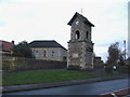
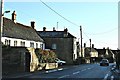
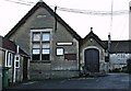
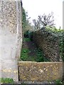
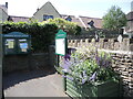
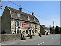
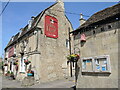
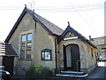
35 photos from this area
Area Information
Key information about the SN12 8JY including its size, population, and administrative classification.
- Area Type
- Postcode
- Area Size
- 7674 m²
- Population
- 1293
- Population Density
- 116 people/km²
House Prices in SN12 8JY
14
Properties
£317,400
Average Sold Price
£105,000
Lowest Price
£620,000
Highest Price
Showing 14 properties
| Address | Type | Beds | Baths | Last Sale Price | Last Sale Date | |
|---|---|---|---|---|---|---|
| 60 Bath Road, Atworth, SN12 8JY | Terraced | 3 | 1 | £350,000 | Jun 2023 | |
| 50 Bath Road, Atworth, SN12 8JY | Detached | 3 | - | £620,000 | Sep 2021 | |
| 62 Bath Road, Atworth, SN12 8JY | Semi-detached | 4 | 2 | £375,000 | Dec 2020 | |
| 53 Bath Road, Atworth, SN12 8JY | Detached | 3 | 2 | £430,000 | Feb 2019 | |
| 59 Bath Road, Atworth, SN12 8JY | Cottage | 3 | 2 | £340,000 | Dec 2014 | |
| 61 Bath Road, Atworth, SN12 8JY | Semi-detached | 3 | - | £245,500 | Oct 2014 | |
| 63 Bath Road, Atworth, SN12 8JY | house | 4 | - | £380,000 | Dec 2011 | |
| 56 Bath Road, Atworth, SN12 8JY | Terraced | - | - | £105,000 | Apr 2006 | |
| 55 Bath Road, Atworth, SN12 8JY | Terraced | - | - | £141,000 | Dec 2000 | |
| Prospect Cottage, 51 Bath Road, Atworth, SN12 8JY | Terraced | 2 | - | £187,500 | Jul 1997 |
Page 1 of 2
Energy Efficiency in SN12 8JY
Amenities
Schools
| Rank | School | Type | Entry gender | Ages |
|---|
Explore more schools in this area
Go to Schools tabDemographics
Household Size
Two person
most common
Accommodation Type
Houses
most common
Tenure
76
majority
Ethnic Group
White
most common
Religion
N/A
most common
Household Composition
N/A
most common
Age
47
median
Adults (30-64 years)
most common
Household Deprivation
N/A
with no deprivation
NS-SEC
39
in Lower managerial occupations
Explore more demographic insights in this area
Go to Demographics tabPlanning
Planning Constraints
- Flood RiskPremium
- Ramsar Wetland SitesPremium
- Area of Outstanding Natural BeautyPremium
- Protected Nature ReservePremium
- Protected WoodlandPremium