Area Overview for SN12 8HG
Photos of SN12 8HG
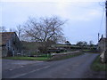
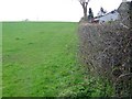
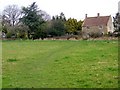
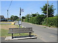
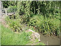
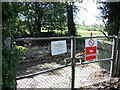
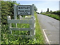
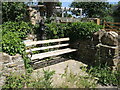
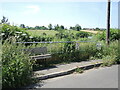
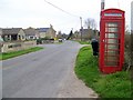
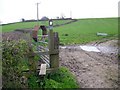
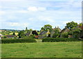
19 photos from this area
Area Information
Key information about the SN12 8HG including its size, population, and administrative classification.
- Area Type
- Postcode
- Area Size
- 14.4 hectares
- Population
- 1293
- Population Density
- 116 people/km²
House Prices in SN12 8HG
23
Properties
£322,788
Average Sold Price
£94,000
Lowest Price
£625,000
Highest Price
Showing 23 properties
| Address | Type | Beds | Baths | Last Sale Price | Last Sale Date | |
|---|---|---|---|---|---|---|
| 173 Purlpit, Atworth, SN12 8HG | Cottage | 4 | 2 | £625,000 | Dec 2023 | |
| 175 Purlpit, Atworth, SN12 8HG | house | 3 | - | £260,000 | Sep 2010 | |
| 170 Purlpit, Atworth, SN12 8HG | Semi-detached | - | - | £312,150 | Aug 2004 | |
| 172 Purlpit, Atworth, SN12 8HG | Semi-detached | - | - | £94,000 | Dec 1995 | |
| 173C Purlpit, Atworth, SN12 8HG | Detached | 4 | 1 | - | - | |
| The Coach House, 193F Purlpit, Atworth, SN12 8HG | house | 5 | 3 | - | - | |
| 173D Purlpit, Atworth, SN12 8HG | Bungalow | 3 | 1 | - | - | |
| 168A Purlpit, Atworth, SN12 8HG | Bungalow | 3 | 1 | - | - | |
| 193E Purlpit, Atworth, SN12 8HG | Semi-detached | 4 | 2 | - | - | |
| 193D Purlpit, Atworth, SN12 8HG | Bungalow | 3 | - | - | - |
Page 1 of 3
Energy Efficiency in SN12 8HG
Amenities
Schools
| Rank | School | Type | Entry gender | Ages |
|---|
Explore more schools in this area
Go to Schools tabDemographics
Household Size
Two person
most common
Accommodation Type
Houses
most common
Tenure
76
majority
Ethnic Group
White
most common
Religion
N/A
most common
Household Composition
N/A
most common
Age
47
median
Adults (30-64 years)
most common
Household Deprivation
N/A
with no deprivation
NS-SEC
39
in Lower managerial occupations
Explore more demographic insights in this area
Go to Demographics tabPlanning
Planning Constraints
- Flood RiskPremium
- Ramsar Wetland SitesPremium
- Area of Outstanding Natural BeautyPremium
- Protected Nature ReservePremium
- Protected WoodlandPremium